Runway & Layout
Radio Frequencies
STAR
131 MHz
Shun Tak Heliport Radio
ZNC
120.6 MHz
Zone Control
Airport Specifications
IATA code
HHP
ICAO code
VHSS
Airport class
Heliport
Scheduled service
Yes
Served city
Central and Western
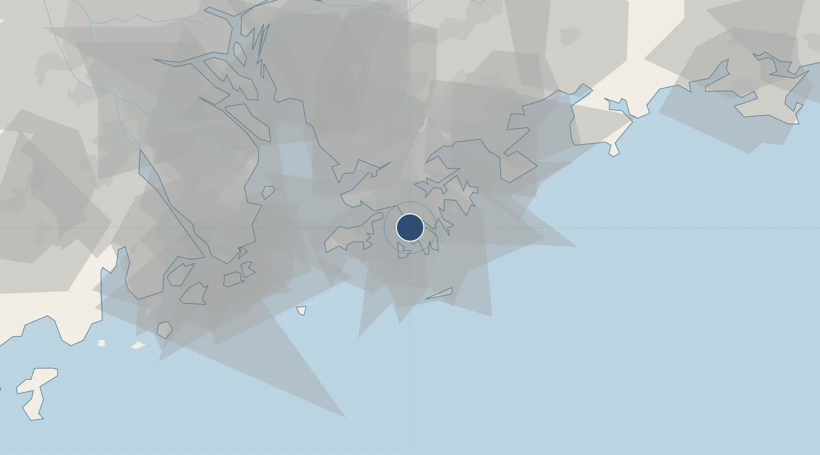
Location
Nearby Logistics Neighbours
DatabookThe Record of Consolidated Knowledge
Hong Kong SAR China beyond logistics?