Free Trade Zone · China

Linjiang Economic Development Zone Active
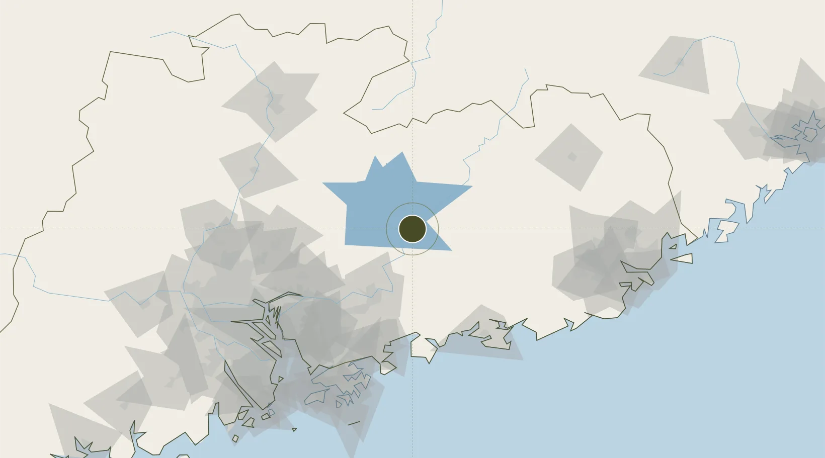
23.6919°, 114.7546°
625 ha
Zone area
111.1 km
Nearest port
73.1 km
Nearest airport

Gateway access

Nearest neighbours — logibook spatial index (haversine) over the source coordinates

Zone profile

Zone type
Free Trade Zone
Open Zone Map
Region
Guangdong
Open Zone Map
Status
Active
Open Zone Map
Management
Public
Open Zone Map
Operator
Linjiang Economic Development Zone Management Committee
Open Zone Map
Legal framework
Provincial economic development zone approved by Jilin Provincial People's Government on November 7, 1992 (Ji Zheng Han No. 260, 1992). National Development and Reform Commission in December 2005 to determine the retention of the provincial development zo
Open Zone Map

Location

Location of ozm-1522
Natural Earth 10m (public domain) · Guangdong · ozm-1522 · 23.69, 114.75GoogleOSMYandex

Nearby Logistics Neighbours

Ports
  1. 1Huizhou111 km
  2. 2Yantian133 km
  3. 3Huangpuxingang147 km
  4. 4Huangpu152 km
  5. 5Shekou164 km
Nearest neighbours — logibook spatial index (haversine) over the source coordinates
Airports
  1. 1Huizhou Pingtan Airport73 km
  2. 2Meizhou Meixian Changgangji International Airport151 km
  3. 3Guangzhou Baiyun International Airport152 km
  4. 4Shenzhen Bao'an International Airport152 km
  5. 5Shek Kong Air Base156 km
Nearest neighbours — logibook spatial index (haversine) over the source coordinates
Cities
  1. 1Donglian Port56 km
  2. 2Hengli60 km
  3. 3Mabian Island72 km
  4. 4Honghai Pt77 km
  5. 5Boluo77 km
Nearest neighbours — logibook spatial index (haversine) over the source coordinates
DatabookThe Record of Consolidated Knowledge
China beyond logistics?
Browse databook

All Sources

Trade ZonesOpen Zone Map
CC BY
Portsthe NGA World Port Index
Public domain (US gov)
AirportsOurAirports
Public domain
LocationsUN/LOCODE
UN/LOCODE — free
← China trade zones