UN/LOCODE hub · China
CNBLX

Honghai Pt

23.1667°, 114.2667°
1
Transport functions

Transport Functions

Port
UN/LOCODE

Hub Profile

Region
GD
GeoNames

Location

Location of CNBLX
Natural Earth 10m (public domain) · GD · CNBLX · 23.17, 114.27GoogleOSMYandex

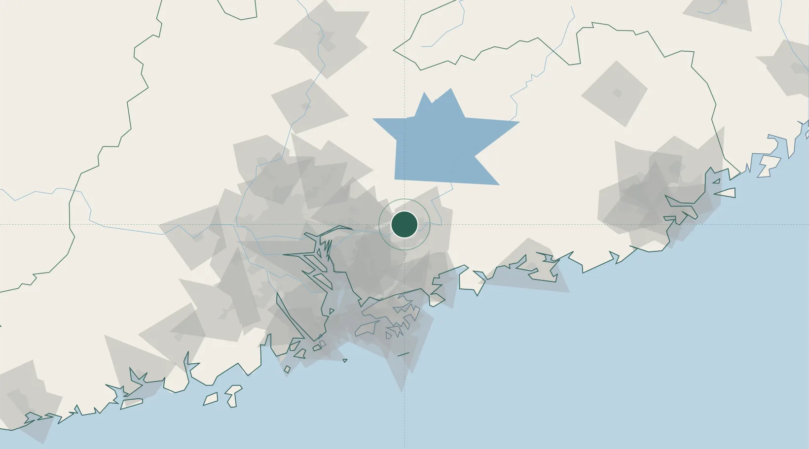
Nearby Logistics Neighbours

Cities
  1. 1Boluo0 km
  2. 2Changping35 km
  3. 3Hengli36 km
  4. 4Huidong Pt49 km
  5. 5Huizhou58 km
Nearest neighbours — logibook spatial index (haversine) over the source coordinates
Ports
  1. 1Huizhou56 km
  2. 2Yantian65 km
  3. 3Huangpuxingang80 km
  4. 4Huangpu87 km
  5. 5Shekou88 km
Nearest neighbours — logibook spatial index (haversine) over the source coordinates
Airports
  1. 1Huizhou Pingtan Airport37 km
  2. 2Shenzhen Bao'an International Airport75 km
  3. 3Shek Kong Air Base83 km
  4. 4Shun Tak Heliport98 km
  5. 5Hong Kong International Airport102 km
Nearest neighbours — logibook spatial index (haversine) over the source coordinates
DatabookThe Record of Consolidated Knowledge
China beyond logistics?
Browse databook

All Sources

LocationsUN/LOCODE
UN/LOCODE — free
Portsthe NGA World Port Index
Public domain (US gov)
AirportsOurAirports
Public domain
Trade Zonesthe World Bank SEZ database
CC BY 4.0
Trade ZonesOpen Zone Map
CC BY
← China locations