Medium airport · Hong Kong SAR China

Shek Kong Air BaseVHSK
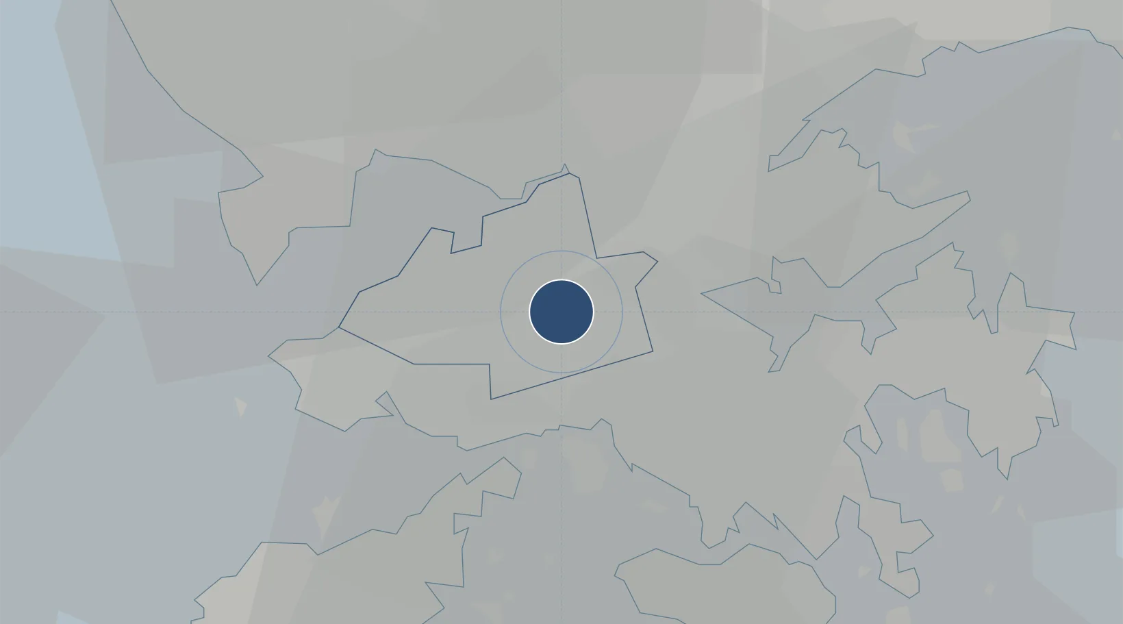
22.4366°, 114.0800°
6,180 ft
Longest runway
1
Runways
50 ft
Elevation

Runway & Layout

Shek Kong Air Base runway & taxiway layout
Runway & taxiway layout — OpenStreetMap (ODbL) / OurAirports

Runways · 1

RunwayDimensions SurfaceTrue headingLit
11/29 6,180 × 110ft Asphalt 111°
OurAirports

Airport Specifications

ICAO code
VHSK
OurAirports
Airport class
Medium airport
OurAirports
Scheduled service
No
OurAirports
Runway surface
Asphalt
OurAirports
Served city
Islands
OurAirports

Location

Location of VHSK
Natural Earth 10m (public domain) · Yuen Long · VHSK · 22.44, 114.08GoogleOSMYandex

Nearby Logistics Neighbours

Airports
  1. 1Shun Tak Heliport18 km
  2. 2Hong Kong International Airport22 km
  3. 3Shenzhen Bao'an International Airport36 km
  4. 4Macau International Airport60 km
  5. 5Huizhou Pingtan Airport87 km
Nearest neighbours — logibook spatial index (haversine) over the source coordinates
Cities
  1. 1Mawan Pt9 km
  2. 2Ha Kwai Chung9 km
  3. 3Hong Kong10 km
  4. 4Kwai Chung11 km
  5. 5Fo Tan13 km
Nearest neighbours — logibook spatial index (haversine) over the source coordinates
Ports
  1. 1Shekou22 km
  2. 2Hong Kong23 km
  3. 3Yantian25 km
  4. 4Huizhou55 km
  5. 5Zhuhai56 km
Nearest neighbours — logibook spatial index (haversine) over the source coordinates
Trade Zones
  1. 1Yuehai Equipment Industrial Park18 km
  2. 2Shatoujiao Free Trade Zone22 km
  3. 3Yantian Free Trade Zone26 km
  4. 4Shenzhen Export Processing Zone43 km
  5. 5Dongguan Water Town Development Zone58 km
Nearest neighbours — logibook spatial index (haversine) over the source coordinates
DatabookThe Record of Consolidated Knowledge
Hong Kong SAR China beyond logistics?
Browse databook

All Sources

AirportsOurAirports
Public domain
Portsthe NGA World Port Index
Public domain (US gov)
LocationsUN/LOCODE
UN/LOCODE — free
Trade Zonesthe World Bank SEZ database
CC BY 4.0
Trade ZonesOpen Zone Map
CC BY
← Hong Kong SAR China airports