Export Processing Zone · China

Huidong County Industrial Transfer Industrial Park Active
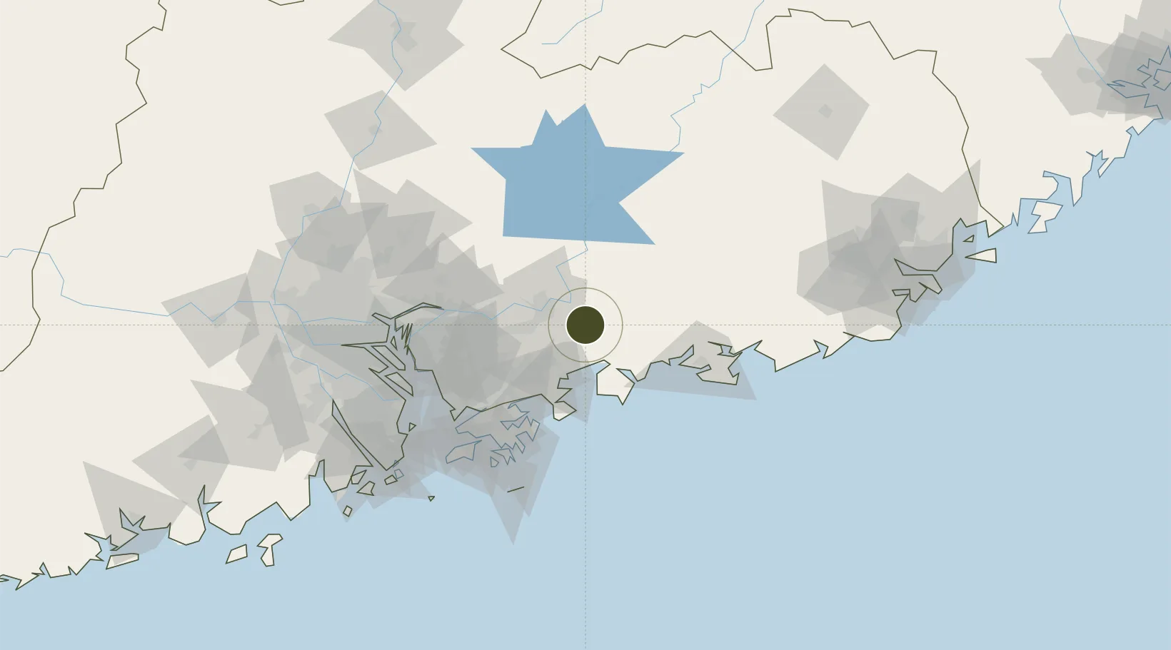
23.0253°, 114.6738°
427 ha
Zone area
37.9 km
Nearest port
8.0 km
Nearest airport

Gateway access

Nearest neighbours — logibook spatial index (haversine) over the source coordinates

Zone profile

Zone type
Export Processing Zone
Open Zone Map
Region
Guangdong
Open Zone Map
Status
Active
Open Zone Map
Management
Public
Open Zone Map
Operator
Working Committee of Huidong County Industrial Transfer Industrial Park
Open Zone Map
Legal framework
Huizhou Industrial Transfer Industrial Park north area planning and design in detail
Open Zone Map

Location

Location of ozm-1138
Natural Earth 10m (public domain) · Guangdong · ozm-1138 · 23.03, 114.67GoogleOSMYandex

Nearby Logistics Neighbours

Ports
  1. 1Huizhou38 km
  2. 2Yantian65 km
  3. 3Hong Kong97 km
  4. 4Shekou104 km
  5. 5Huangpuxingang120 km
Nearest neighbours — logibook spatial index (haversine) over the source coordinates
Airports
  1. 1Huizhou Pingtan Airport8 km
  2. 2Shek Kong Air Base89 km
  3. 3Shun Tak Heliport98 km
  4. 4Shenzhen Bao'an International Airport99 km
  5. 5Hong Kong International Airport111 km
Nearest neighbours — logibook spatial index (haversine) over the source coordinates
Cities
  1. 1Huidong Pt5 km
  2. 2Hengli17 km
  3. 3Dayawan40 km
  4. 4Donglian Port43 km
  5. 5Mabian Island43 km
Nearest neighbours — logibook spatial index (haversine) over the source coordinates
Trade Zones
  1. 1Huizhou Industrial Park20 km
  2. 2Huiyang Economic Development Zone24 km
  3. 3Shenzhen Export Processing Zone47 km
  4. 4Industrial Transfer Industrial Park, Boluo County50 km
  5. 5Yantian Free Trade Zone64 km
Nearest neighbours — logibook spatial index (haversine) over the source coordinates
DatabookThe Record of Consolidated Knowledge
China beyond logistics?
Browse databook

All Sources

Trade ZonesOpen Zone Map
CC BY
Portsthe NGA World Port Index
Public domain (US gov)
AirportsOurAirports
Public domain
LocationsUN/LOCODE
UN/LOCODE — free
← China trade zones