Large airport · China
Shenzhen Bao'an International AirportZGSZ
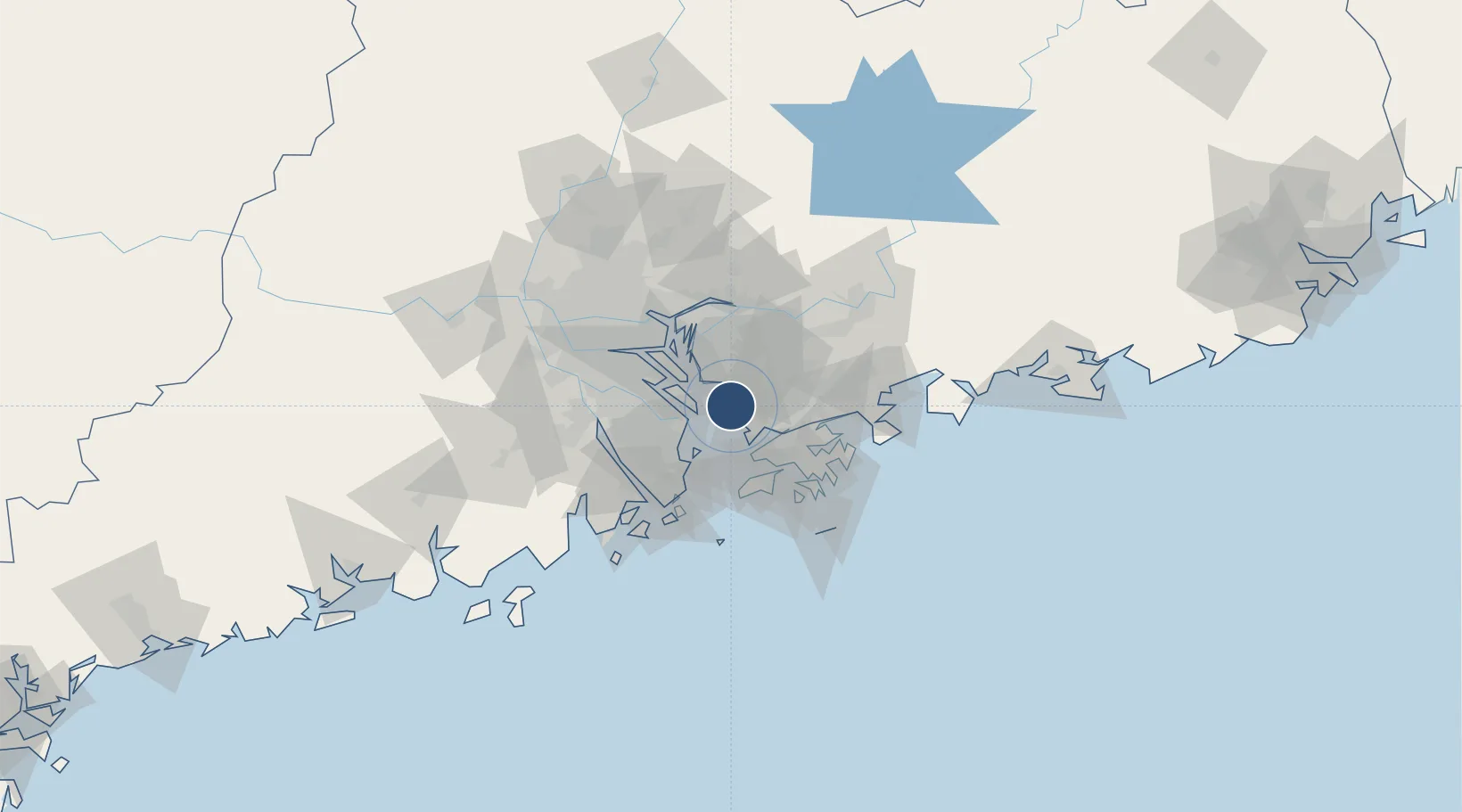
22.6395°, 113.8033°
12,467 ft
Longest runway
3
Runways
13 ft
Elevation
Runway & Layout

Radio Frequencies
ATIS
127.45 MHz
TWR
118.45 MHz
GND
121.65 MHz
CLD
127.95 MHz
APP
120.35 MHz
ZHUHAI APP
Navaids
QJ NDB Shenzhen 253 kHz
SZX VOR-DME Shenzhen 115.30 MHz
Runways · 3
| Runway | Dimensions | Surface | True heading | Lit |
|---|---|---|---|---|
| 16L/34R | 12,467 × 197ft | Concrete | 155° | ✓ |
| 16R/34L | 11,811 × 148ft | Concrete | 153° | — |
| 15/33 | 11,155 × 148ft | Concrete | 155° | ✓ |
Airport Specifications
IATA code
SZX
ICAO code
ZGSZ
Airport class
Large airport
Scheduled service
Yes
Runway surface
Concrete
Served city
Shenzhen
Location
Nearby Logistics Neighbours
Airports
- 1Shek Kong Air Base36 km
- 2Hong Kong International Airport38 km
- 3Shun Tak Heliport53 km
- 4Macau International Airport59 km
- 5Zhuhai Jinwan Airport83 km
Cities
- 1Fuyong2 km
- 2Humen Pt9 km
- 3Jiujiang10 km
- 4DA CHAN BAY10 km
- 5Nansha Pt15 km
Ports
- 1Shekou20 km
- 2Yantian48 km
- 3Zhuhai51 km
- 4Huangpuxingang55 km
- 5Macau56 km
Trade Zones
DatabookThe Record of Consolidated Knowledge
China beyond logistics?