Seaport · China
HuizhouCNHUI
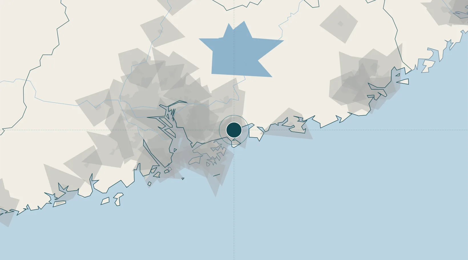
22.7167°, 114.5167°
9.4 m
Channel depth
1
Container terminals
11.9
Port liner connectivity
Channel & Berth Profile
Pilotage, Tugs & Services
Pilotage compulsoryYES
Pilotage availableYES
Tug assistanceYES
Salvage tugsYES
Potable waterYES
Diesel bunkersNO
MedicalYES
Garbage disposalNO
Facilities & Capabilities
Container—
Ro-Ro—
Liquid bulk—
Dry bulk—
Oil terminal—
Break bulk—
Dry dock—
Repairs—
BunkeringNO
Rail link—
Dangerous cargo—
ISPS security—
Harbour Specifications
Harbour size
Very Small
Harbour type
Coastal (Natural)
Shelter
Fair
Water body
South China Sea; North Pacific Ocean
Tidal range
1 m
Pilotage
Yes
Liner Connectivity
11.9
PLSCI
Port Liner Shipping Connectivity Index for Huizhou, as published by UNCTAD for the latest available quarter. Higher values indicate stronger scheduled liner-shipping integration.
Shown relative to the highest per-port PLSCI in the dataset (1,657.9).
Location
Container Terminals · 1
HUIZHOU INTERNATIONAL CONTAINER TERMINAL (HICT)
HICT HUIZHOU INTERNATIONAL CONTAINER TERMINALS CO., LTD.
Nearby Logistics Neighbours
Ports
- 1Yantian30 km
- 2Hong Kong60 km
- 3Shekou72 km
- 4Zhuhai110 km
- 5Huangpuxingang111 km
Cities
- 1Dapeng13 km
- 2Dayawan16 km
- 3Guangdong Terminal19 km
- 4Yantian32 km
- 5Shenzhen34 km
Airports
Trade Zones
DatabookThe Record of Consolidated Knowledge
China beyond logistics?