Medium airport · China

Huizhou Pingtan AirportZGHZ
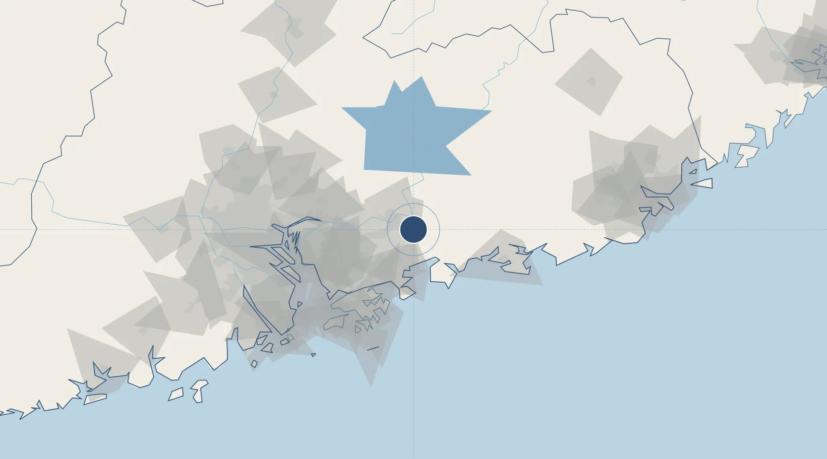
23.0500°, 114.6000°
7,874 ft
Longest runway
1
Runways
50 ft
Elevation

Runway & Layout

Huizhou Pingtan Airport runway & taxiway layout
Runway & taxiway layout — OpenStreetMap (ODbL) / OurAirports

Runways · 1

RunwayDimensions SurfaceTrue headingLit
09/27 7,874 × —ft
OurAirports

Airport Specifications

IATA code
HUZ
OurAirports
ICAO code
ZGHZ
OurAirports
Airport class
Medium airport
OurAirports
Scheduled service
Yes
OurAirports
Served city
Huizhou (Pingtan)
OurAirports

Location

Location of ZGHZ
Natural Earth 10m (public domain) · Guangdong · ZGHZ · 23.05, 114.60GoogleOSMYandex

Nearby Logistics Neighbours

Airports
  1. 1Shek Kong Air Base87 km
  2. 2Shenzhen Bao'an International Airport94 km
  3. 3Shun Tak Heliport96 km
  4. 4Hong Kong International Airport108 km
  5. 5Guangzhou Baiyun International Airport138 km
Nearest neighbours — logibook spatial index (haversine) over the source coordinates
Cities
  1. 1Huidong Pt13 km
  2. 2Hengli13 km
  3. 3Honghai Pt37 km
  4. 4Boluo37 km
  5. 5Dayawan43 km
Nearest neighbours — logibook spatial index (haversine) over the source coordinates
Ports
  1. 1Huizhou38 km
  2. 2Yantian62 km
  3. 3Hong Kong96 km
  4. 4Shekou99 km
  5. 5Huangpuxingang113 km
Nearest neighbours — logibook spatial index (haversine) over the source coordinates
Trade Zones
  1. 1Huidong County Industrial Transfer Industrial Park8 km
  2. 2Huizhou Industrial Park14 km
  3. 3Huiyang Economic Development Zone21 km
  4. 4Shenzhen Export Processing Zone45 km
  5. 5Industrial Transfer Industrial Park, Boluo County45 km
Nearest neighbours — logibook spatial index (haversine) over the source coordinates
DatabookThe Record of Consolidated Knowledge
China beyond logistics?
Browse databook

All Sources

AirportsOurAirports
Public domain
Portsthe NGA World Port Index
Public domain (US gov)
LocationsUN/LOCODE
UN/LOCODE — free
Trade Zonesthe World Bank SEZ database
CC BY 4.0
Trade ZonesOpen Zone Map
CC BY
InfrastructureOpenStreetMap
ODbL 1.0
← China airports