Transport Functions
Port
Road
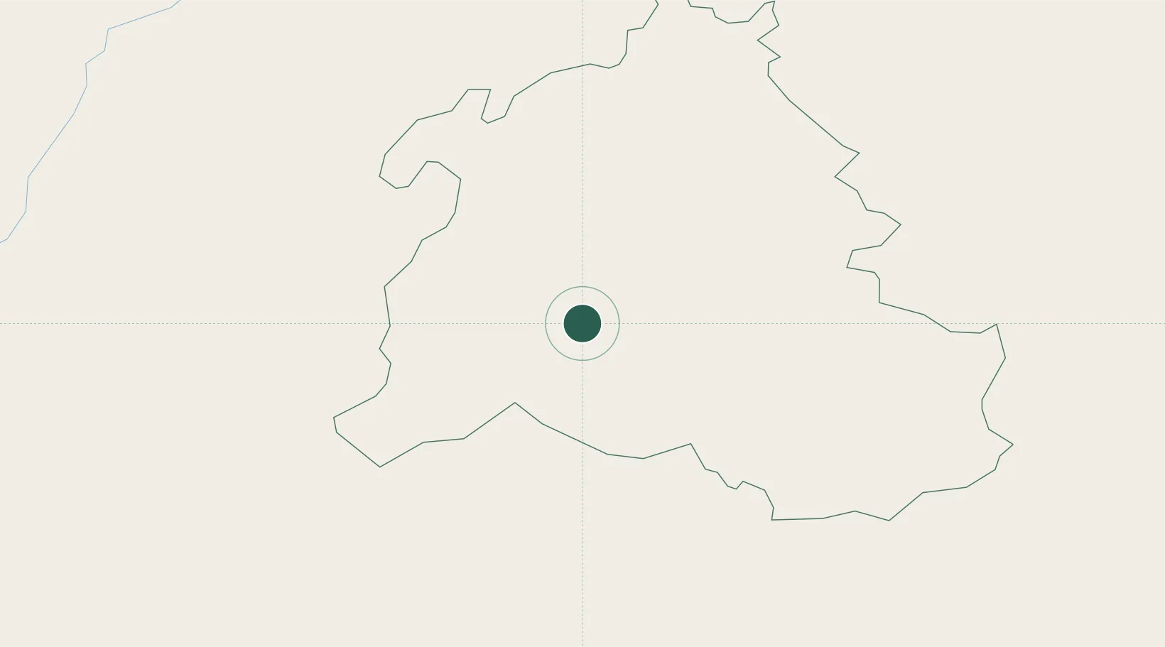
Hub Profile
Place type
Regional capital
Region
Zabul
Population
12,191
Time zone
Asia/Kabul
Elevation
1,568 m
Location
Nearby Logistics Neighbours
Ports
- 1Karachi814 km
- 2Muhamamad Bin Qasim817 km
- 3Gwadar894 km
- 4Chah Bahar975 km
- 5Mandvi1059 km
Airports
- 1Ahmad Shah Baba International Airport118 km
- 2Quetta International Airport206 km
- 3Zhob Airport258 km
- 4Khost International Airport304 km
- 5Salerno South Airport318 km
Trade Zones
DatabookThe Record of Consolidated Knowledge
Afghanistan beyond logistics?