Diversified Zone · Afghanistan

Zaranj Special Economic Zone Under Development
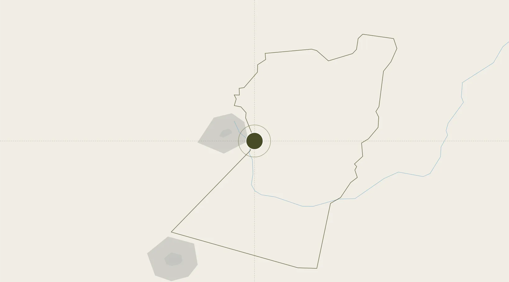
30.9601°, 61.8505°
644.5 km
Nearest port
33.0 km
Nearest airport

Gateway access

Nearest neighbours — logibook spatial index (haversine) over the source coordinates

Zone profile

Zone type
Diversified Zone
Open Zone Map
Region
Nimroz
Open Zone Map
Status
Under Development
Open Zone Map
Management
Public
Open Zone Map
Operator
Afghanistan Airfield Economic Development Commission (AAEDC)
Open Zone Map
Legal framework
Presidential Decree # July 2015, Afghanistan Customs Law 2005.
Open Zone Map

Location

Location of ozm-14
Natural Earth 10m (public domain) · Nimroz · ozm-14 · 30.96, 61.85GoogleOSMYandex

Nearby Logistics Neighbours

Ports
  1. 1Chah Bahar645 km
  2. 2Gwadar649 km
  3. 3Jazireh-Ye Hormoz678 km
  4. 4Bandar Abbas694 km
  5. 5Bandar-E Shahid Rejaie707 km
Nearest neighbours — logibook spatial index (haversine) over the source coordinates
Airports
  1. 1Zabol Airport33 km
  2. 2Zahedan International Airport188 km
  3. 3Birjand International Airport324 km
  4. 4Dalbandin Airport338 km
  5. 5Herat - Khwaja Abdullah Ansari International Airport363 km
Nearest neighbours — logibook spatial index (haversine) over the source coordinates
Cities
  1. 1Chaman437 km
  2. 2Qalat494 km
  3. 3Chah Bahar639 km
  4. 4Shahid Bahonar695 km
  5. 5Bandar Abbas699 km
Nearest neighbours — logibook spatial index (haversine) over the source coordinates
Trade Zones
  1. 1Saindak Export Processing Zone190 km
  2. 2Mirjaveh Special Economic Zone221 km
  3. 3Helmand Special Economic Zone248 km
  4. 4Shīnḍanḍ Special Economic Zone272 km
  5. 5Birjand Special Economic Zone321 km
Nearest neighbours — logibook spatial index (haversine) over the source coordinates
DatabookThe Record of Consolidated Knowledge
Afghanistan beyond logistics?
Browse databook

All Sources

Trade ZonesOpen Zone Map
CC BY
Portsthe NGA World Port Index
Public domain (US gov)
AirportsOurAirports
Public domain
LocationsUN/LOCODE
UN/LOCODE — free
← Afghanistan trade zones