Export Processing Zone · China

Dunhua Economic Development Zone Active
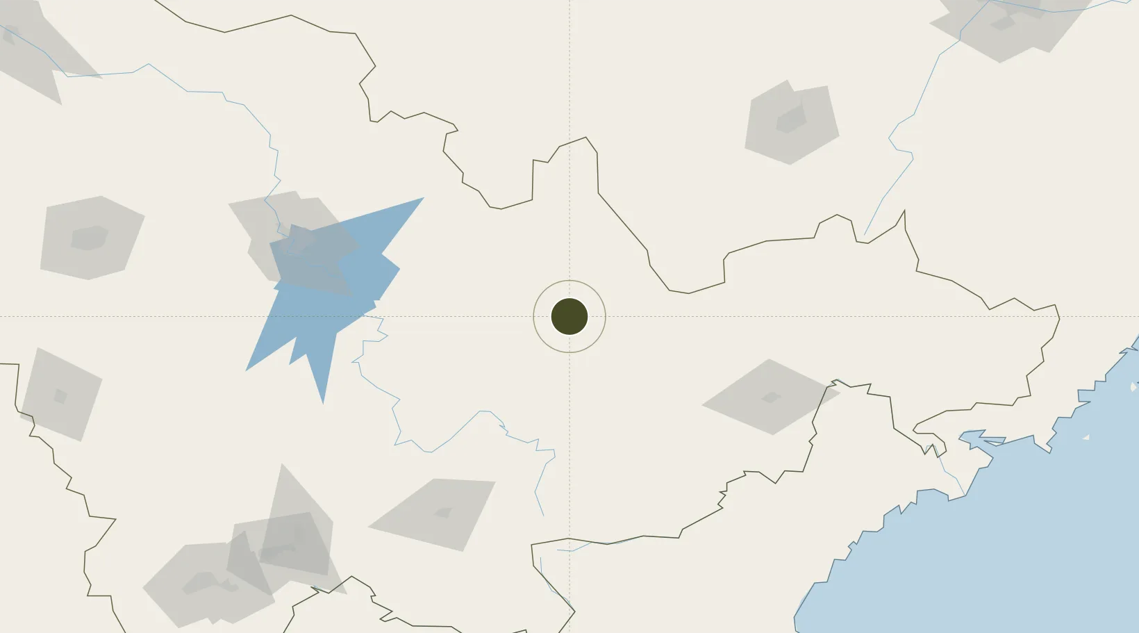
43.3960°, 128.2691°
501 ha
Zone area
210.1 km
Nearest port
111.6 km
Nearest airport

Gateway access

Nearest neighbours — logibook spatial index (haversine) over the source coordinates

Zone profile

Zone type
Export Processing Zone
Open Zone Map
Region
Jilin
Open Zone Map
Status
Active
Open Zone Map
Management
Public
Open Zone Map
Operator
Working Committee of Dunhua Economic Development Zone
Open Zone Map
Legal framework
The Regulatory Detailed Plan of Dunhua High-tech Industrial Park was compiled by the Management Committee of Dunhua Economic Development Zone
Open Zone Map

Location

Location of ozm-1171
Natural Earth 10m (public domain) · Jilin · ozm-1171 · 43.40, 128.27GoogleOSMYandex

Nearby Logistics Neighbours

Ports
  1. 1Najin210 km
  2. 2Ch'ongjin221 km
  3. 3Pos'yet222 km
  4. 4Zarubino244 km
  5. 5Slavyanka260 km
Nearest neighbours — logibook spatial index (haversine) over the source coordinates
Airports
  1. 1Yanji Chaoyangchuan Airport112 km
  2. 2Changbaishan Airport158 km
  3. 3Mudanjiang Hailang International Airport163 km
  4. 4Changchun Longjia International Airport218 km
  5. 5Lalin Air Base234 km
Nearest neighbours — logibook spatial index (haversine) over the source coordinates
Cities
  1. 1Quanyang130 km
  2. 2Tumen138 km
  3. 3Yueqing138 km
  4. 4Daan141 km
  5. 5Ning'an142 km
Nearest neighbours — logibook spatial index (haversine) over the source coordinates
DatabookThe Record of Consolidated Knowledge
China beyond logistics?
Browse databook

All Sources

Trade ZonesOpen Zone Map
CC BY
Portsthe NGA World Port Index
Public domain (US gov)
AirportsOurAirports
Public domain
LocationsUN/LOCODE
UN/LOCODE — free
← China trade zones