Medium airport · China

Yanji Chaoyangchuan AirportZYYJ
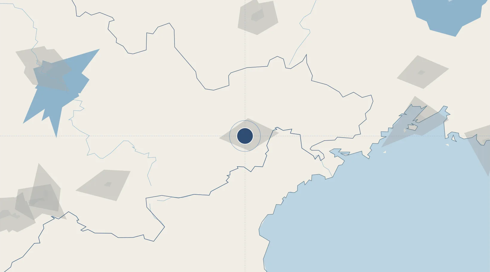
42.8828°, 129.4510°
8,530 ft
Longest runway
1
Runways
624 ft
Elevation

Runway & Layout

Yanji Chaoyangchuan Airport runway & taxiway layout
Runway & taxiway layout — OpenStreetMap (ODbL) / OurAirports

Radio Frequencies

TWR
130 MHz
OurAirports

Navaids

JA NDB Dexin 332 kHz
YNJ VOR-DME Yanji 113.10 MHz
OurAirports

Runways · 1

RunwayDimensions SurfaceTrue headingLit
09/27 8,530 × 148ft Concrete 082°
OurAirports

Airport Specifications

IATA code
YNJ
OurAirports
ICAO code
ZYYJ
OurAirports
Airport class
Medium airport
OurAirports
Scheduled service
Yes
OurAirports
Runway surface
Concrete
OurAirports
Served city
Yanji
OurAirports

Location

Location of ZYYJ
Natural Earth 10m (public domain) · Jilin · ZYYJ · 42.88, 129.45GoogleOSMYandex

Nearby Logistics Neighbours

Airports
  1. 1Orang (Chongjin) Airport163 km
  2. 2Changbaishan Airport177 km
  3. 3Mudanjiang Hailang International Airport183 km
  4. 4Vladivostok International Airport226 km
  5. 5Vozdvizhenka Air Base230 km
Nearest neighbours — logibook spatial index (haversine) over the source coordinates
Cities
  1. 1Yueqing30 km
  2. 2Tumen33 km
  3. 3Hunchun75 km
  4. 4Rajin (Najin)101 km
  5. 5Daan123 km
Nearest neighbours — logibook spatial index (haversine) over the source coordinates
Ports
  1. 1Najin100 km
  2. 2Pos'yet113 km
  3. 3Ch'ongjin128 km
  4. 4Zarubino136 km
  5. 5Slavyanka158 km
Nearest neighbours — logibook spatial index (haversine) over the source coordinates
DatabookThe Record of Consolidated Knowledge
China beyond logistics?
Browse databook

All Sources

AirportsOurAirports
Public domain
Portsthe NGA World Port Index
Public domain (US gov)
LocationsUN/LOCODE
UN/LOCODE — free
Trade Zonesthe World Bank SEZ database
CC BY 4.0
Trade ZonesOpen Zone Map
CC BY
InfrastructureOpenStreetMap
ODbL 1.0
← China airports