UN/LOCODE hub · China
CNDAN

Daan

43.9500°, 129.8500°
1
Transport functions

Transport Functions

Port
UN/LOCODE

Hub Profile

Place type
Local administrative seat
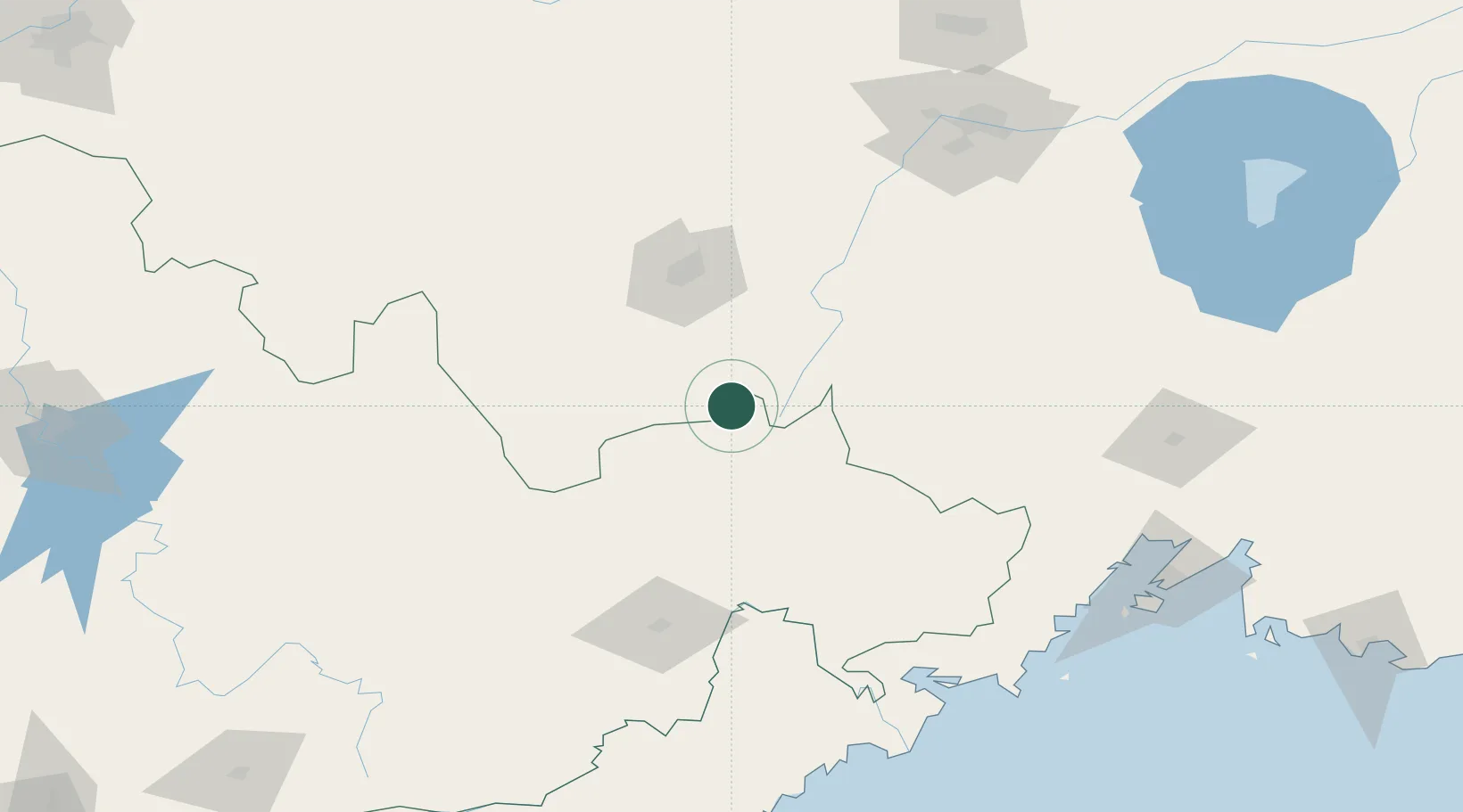
GeoNames
Region
Jilin
GeoNames
Time zone
Asia/Shanghai
GeoNames
Elevation
449 m
GeoNames

Location

Location of CNDAN
Natural Earth 10m (public domain) · Jilin · CNDAN · 43.95, 129.85GoogleOSMYandex

Nearby Logistics Neighbours

Cities
  1. 1Ning'an53 km
  2. 2Shanshi91 km
  3. 3Tumen111 km
  4. 4Suifenhe116 km
  5. 5Yueqing119 km
Nearest neighbours — logibook spatial index (haversine) over the source coordinates
Ports
  1. 1Pos'yet164 km
  2. 2Slavyanka173 km
  3. 3Zarubino177 km
  4. 4Vladivostok189 km
  5. 5Najin194 km
Nearest neighbours — logibook spatial index (haversine) over the source coordinates
Airports
  1. 1Mudanjiang Hailang International Airport68 km
  2. 2Yanji Chaoyangchuan Airport123 km
  3. 3Vozdvizhenka Air Base166 km
  4. 4Jixi Xingkaihu Airport183 km
  5. 5Vladivostok International Airport195 km
Nearest neighbours — logibook spatial index (haversine) over the source coordinates
DatabookThe Record of Consolidated Knowledge
China beyond logistics?
Browse databook

All Sources

LocationsUN/LOCODE
UN/LOCODE — free
Portsthe NGA World Port Index
Public domain (US gov)
AirportsOurAirports
Public domain
Trade Zonesthe World Bank SEZ database
CC BY 4.0
Trade ZonesOpen Zone Map
CC BY
← China locations