Channel & Berth Profile
Pilotage, Tugs & Services
Pilotage compulsoryYES
Pilotage availableYES
Tug assistanceYES
Shore powerYES
Potable waterYES
MedicalYES
Facilities & Capabilities
Container—
Ro-Ro—
Liquid bulk—
Dry bulk—
Oil terminal—
Break bulk—
Dry dockNO
RepairsNO
BunkeringYES
Rail linkYES
Dangerous cargo—
ISPS security—
Harbour Specifications
Harbour size
Small
Harbour type
Coastal (Natural)
Shelter
Fair
Water body
Sea of Japan; North Pacific Ocean
Tidal range
1 m
Pilotage
Yes
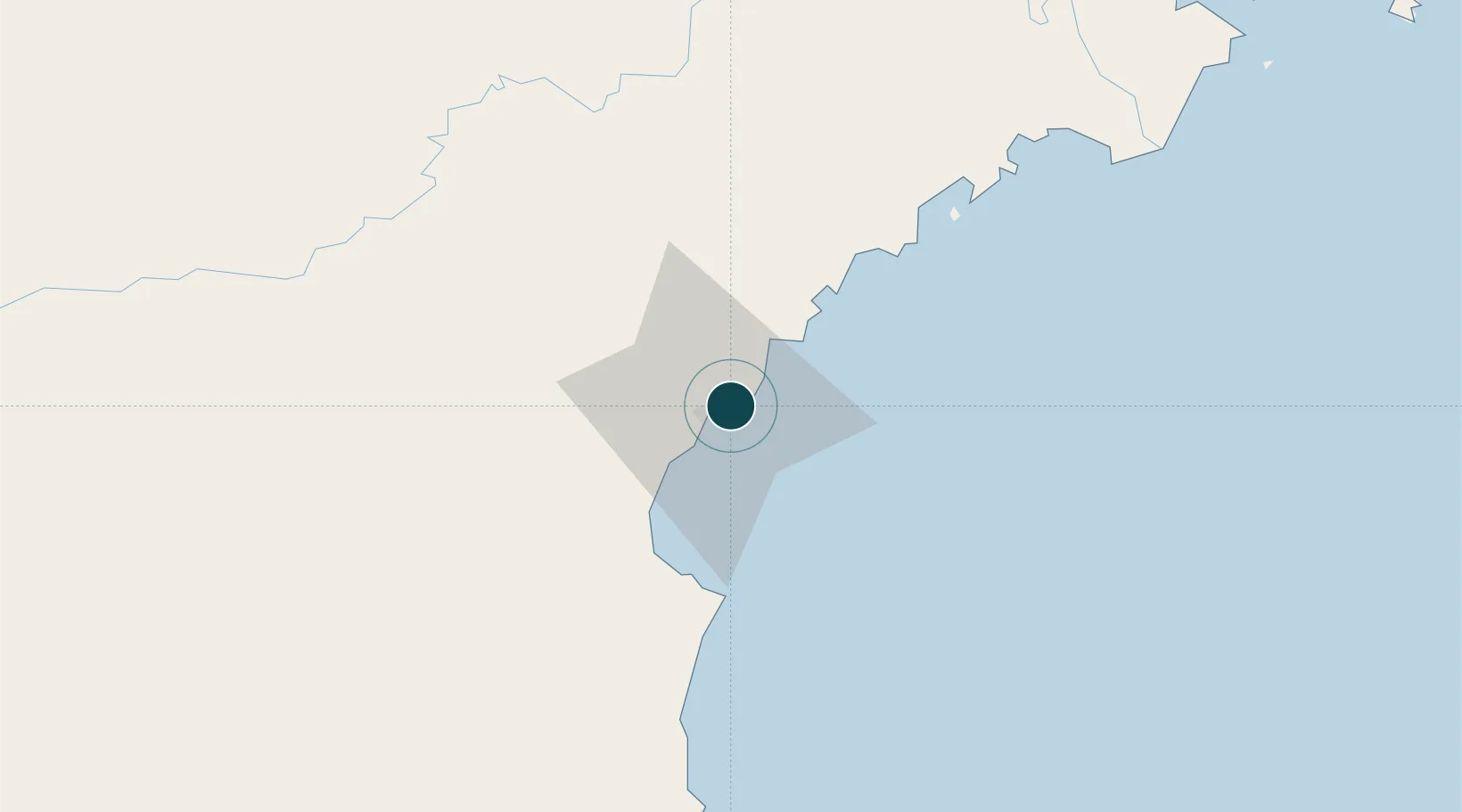
Location
Nearby Logistics Neighbours
Cities
- 1Odaejin43 km
- 2Rajin (Najin)63 km
- 3Yueqing124 km
- 4Hunchun130 km
- 5Tumen132 km
Airports
- 1Orang (Chongjin) Airport40 km
- 2Yanji Chaoyangchuan Airport128 km
- 3Riwon Airbase181 km
- 4Hwangsuwon Airbase184 km
- 5Changbaishan Airport186 km
Trade Zones
DatabookThe Record of Consolidated Knowledge
North Korea beyond logistics?