Diversified Zone · China

Yanji Economic and Technological Development Zone Active
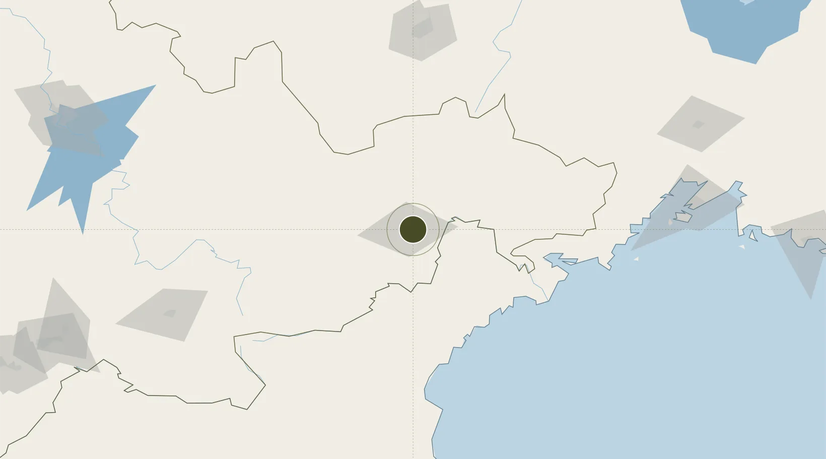
42.9016°, 129.5534°
533 ha
Zone area
96.2 km
Nearest port
8.6 km
Nearest airport

Gateway access

Nearest neighbours — logibook spatial index (haversine) over the source coordinates

Zone profile

Zone type
Diversified Zone
Open Zone Map
Region
Jilin
Open Zone Map
Status
Active
Open Zone Map
Management
Public
Open Zone Map
Operator
Yanji Economic and Technological Development Zone Management Committee
Open Zone Map
Legal framework
In 1993 approved by the People's government of Jilin Province established
Open Zone Map

Location

Location of ozm-549
Natural Earth 10m (public domain) · Jilin · ozm-549 · 42.90, 129.55GoogleOSMYandex

Nearby Logistics Neighbours

Ports
  1. 1Najin96 km
  2. 2Pos'yet106 km
  3. 3Ch'ongjin128 km
  4. 4Zarubino128 km
  5. 5Slavyanka149 km
Nearest neighbours — logibook spatial index (haversine) over the source coordinates
Airports
  1. 1Yanji Chaoyangchuan Airport9 km
  2. 2Orang (Chongjin) Airport164 km
  3. 3Mudanjiang Hailang International Airport181 km
  4. 4Changbaishan Airport185 km
  5. 5Vladivostok International Airport218 km
Nearest neighbours — logibook spatial index (haversine) over the source coordinates
Cities
  1. 1Yueqing22 km
  2. 2Tumen25 km
  3. 3Hunchun66 km
  4. 4Rajin (Najin)97 km
  5. 5Daan119 km
Nearest neighbours — logibook spatial index (haversine) over the source coordinates
DatabookThe Record of Consolidated Knowledge
China beyond logistics?
Browse databook

All Sources

Trade ZonesOpen Zone Map
CC BY
Portsthe NGA World Port Index
Public domain (US gov)
AirportsOurAirports
Public domain
LocationsUN/LOCODE
UN/LOCODE — free
← China trade zones