Transport Functions
Rail
Road
Hub Profile
Place type
District seat
Region
Jilin
Population
78,719
Time zone
Asia/Shanghai
Elevation
98 m
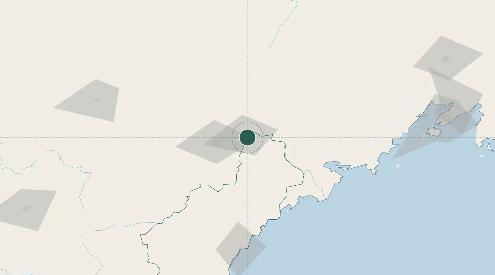
Location
Nearby Logistics Neighbours
Cities
- 1Yueqing8 km
- 2Hunchun43 km
- 3Rajin (Najin)89 km
- 4Zarubino107 km
- 5Daan111 km
Airports
DatabookThe Record of Consolidated Knowledge
China beyond logistics?