UN/LOCODE hub · China
CNYUE

Yueqing

42.8833°, 129.8167°
2
Transport functions

Transport Functions

Road
Multimodal
UN/LOCODE

Hub Profile

Place type
Populated place
GeoNames
Region
Jiangsu
GeoNames
Time zone
Asia/Shanghai
GeoNames
Elevation
1 m
GeoNames

Location

Location of CNYUE
Natural Earth 10m (public domain) · Jiangsu · CNYUE · 42.88, 129.82GoogleOSMYandex

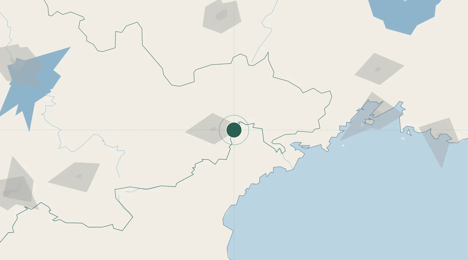
Nearby Logistics Neighbours

Cities
  1. 1Tumen8 km
  2. 2Hunchun45 km
  3. 3Rajin (Najin)83 km
  4. 4Zarubino108 km
  5. 5Vityaz115 km
Nearest neighbours — logibook spatial index (haversine) over the source coordinates
Ports
  1. 1Najin82 km
  2. 2Pos'yet84 km
  3. 3Zarubino107 km
  4. 4Ch'ongjin124 km
  5. 5Slavyanka128 km
Nearest neighbours — logibook spatial index (haversine) over the source coordinates
Airports
  1. 1Yanji Chaoyangchuan Airport30 km
  2. 2Orang (Chongjin) Airport162 km
  3. 3Mudanjiang Hailang International Airport184 km
  4. 4Vladivostok International Airport198 km
  5. 5Changbaishan Airport203 km
Nearest neighbours — logibook spatial index (haversine) over the source coordinates
DatabookThe Record of Consolidated Knowledge
China beyond logistics?
Browse databook

All Sources

LocationsUN/LOCODE
UN/LOCODE — free
Portsthe NGA World Port Index
Public domain (US gov)
AirportsOurAirports
Public domain
Trade Zonesthe World Bank SEZ database
CC BY 4.0
Trade ZonesOpen Zone Map
CC BY
← China locations