Transport Functions
Rail
Road
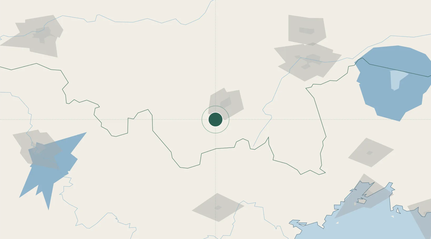
Hub Profile
Place type
District seat
Region
Heilongjiang
Time zone
Asia/Shanghai
Elevation
237 m
Location
Nearby Logistics Neighbours
Ports
- 1Pos'yet216 km
- 2Slavyanka225 km
- 3Zarubino230 km
- 4Vladivostok238 km
- 5Najin243 km
Airports
- 1Mudanjiang Hailang International Airport23 km
- 2Yanji Chaoyangchuan Airport161 km
- 3Jixi Xingkaihu Airport173 km
- 4Vozdvizhenka Air Base202 km
- 5Lalin Air Base228 km
DatabookThe Record of Consolidated Knowledge
China beyond logistics?