Transport Functions
Rail
Road
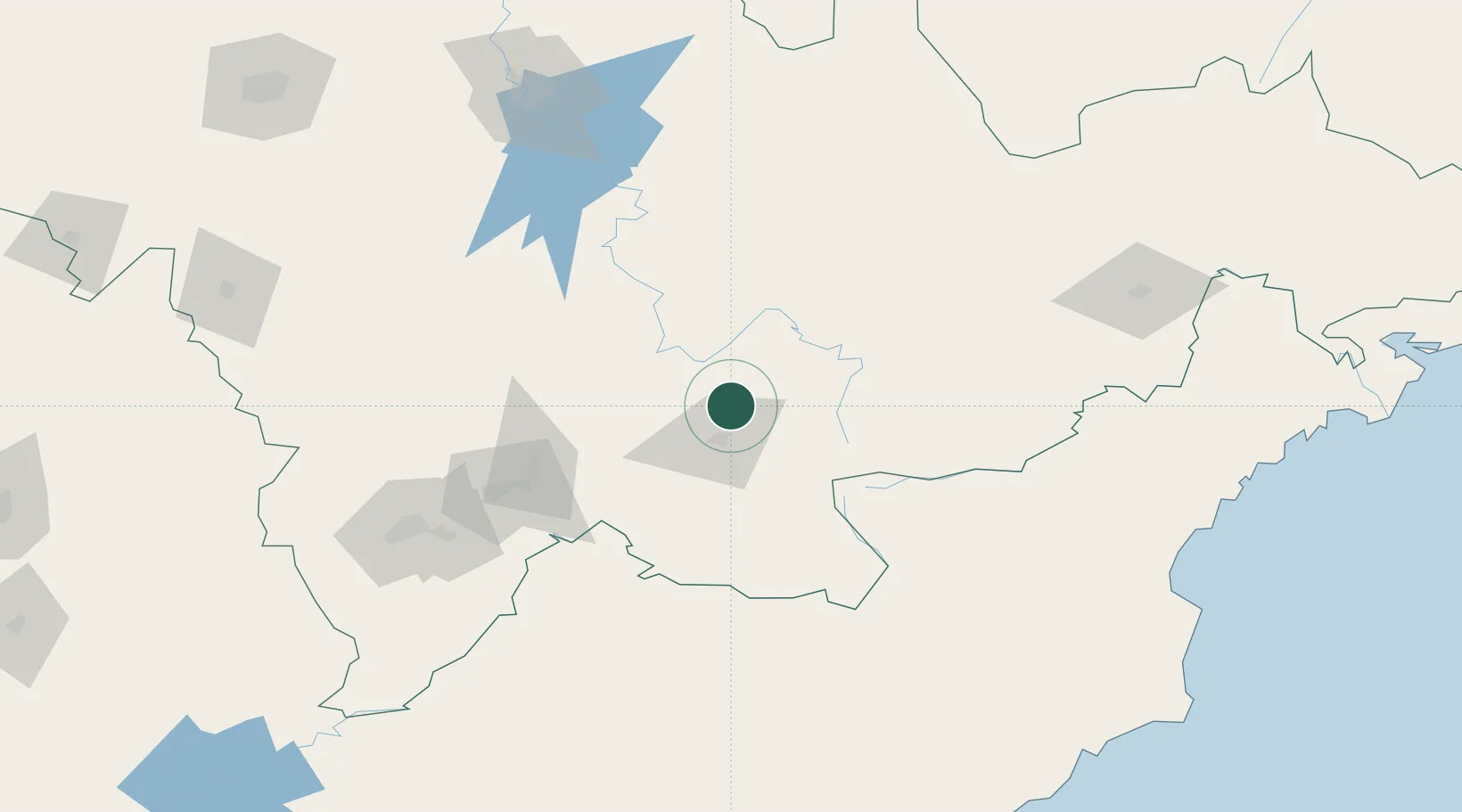
Hub Profile
Place type
Local administrative seat
Region
Jilin
Time zone
Asia/Shanghai
Elevation
734 m
Location
Nearby Logistics Neighbours
Airports
- 1Changbaishan Airport32 km
- 2Tonghua Sanyuanpu Airport153 km
- 3Yanji Chaoyangchuan Airport167 km
- 4Hwangsuwon Airbase192 km
- 5Orang (Chongjin) Airport202 km
DatabookThe Record of Consolidated Knowledge
China beyond logistics?