Medium airport · China

Mudanjiang Hailang International AirportZYMD
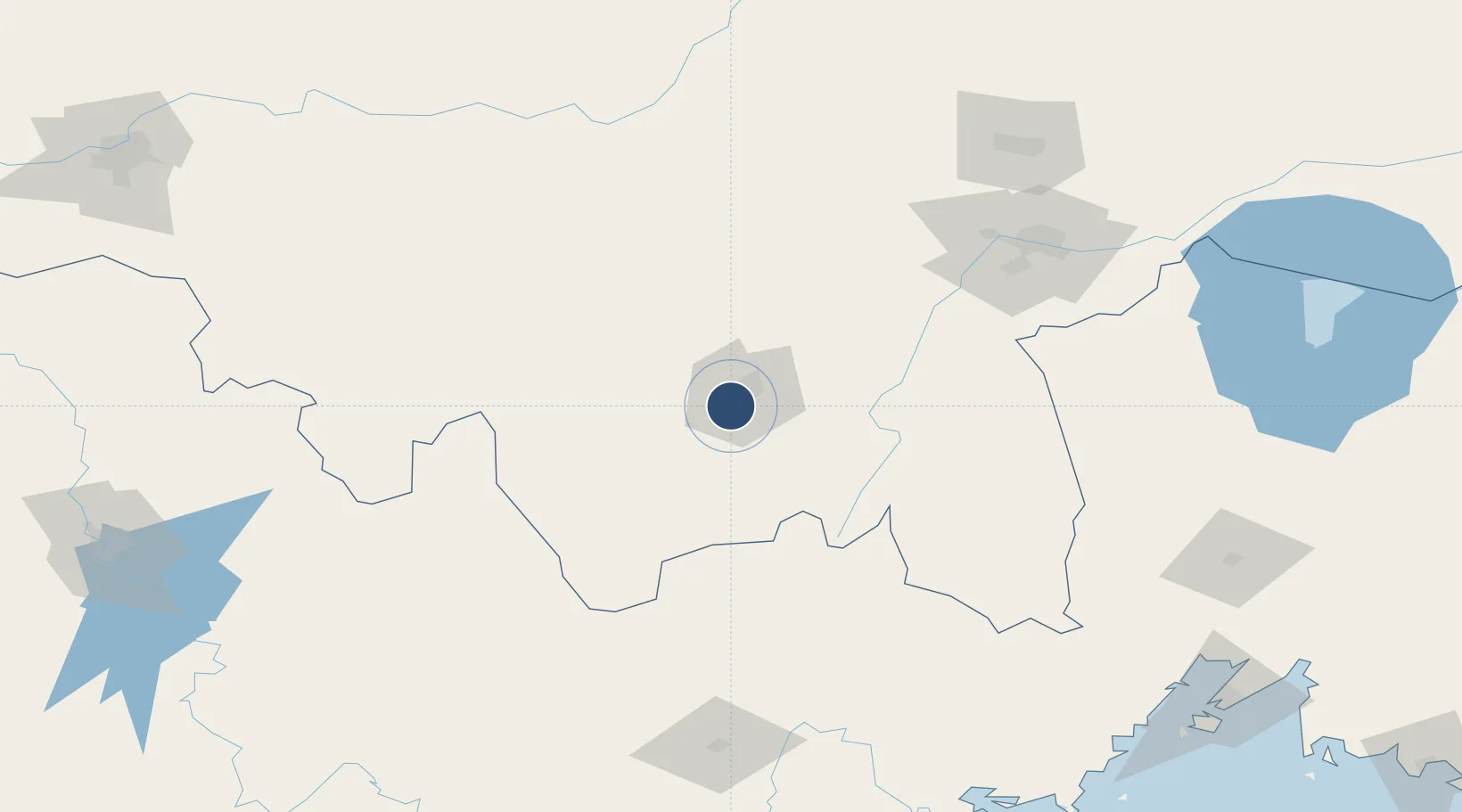
44.5252°, 129.5686°
8,530 ft
Longest runway
1
Runways
883 ft
Elevation

Runway & Layout

Mudanjiang Hailang International Airport runway & taxiway layout
Runway & taxiway layout — OpenStreetMap (ODbL) / OurAirports

Radio Frequencies

TWR
130 MHz
MUDANJIANG TWR
OurAirports

Navaids

O NDB Hailang 251 kHz
OurAirports

Runways · 1

RunwayDimensions SurfaceTrue headingLit
04/22 8,530 × 148ft Concrete 026°
OurAirports

Airport Specifications

IATA code
MDG
OurAirports
ICAO code
ZYMD
OurAirports
Airport class
Medium airport
OurAirports
Scheduled service
Yes
OurAirports
Runway surface
Concrete
OurAirports
Served city
Mudanjiang
OurAirports

Location

Location of ZYMD
Natural Earth 10m (public domain) · Heilongjiang · ZYMD · 44.53, 129.57GoogleOSMYandex

Nearby Logistics Neighbours

Airports
  1. 1Jixi Xingkaihu Airport154 km
  2. 2Yanji Chaoyangchuan Airport183 km
  3. 3Vozdvizhenka Air Base200 km
  4. 4Lalin Air Base226 km
  5. 5Chernigovka Air Base237 km
Nearest neighbours — logibook spatial index (haversine) over the source coordinates
Cities
  1. 1Ning'an23 km
  2. 2Shanshi37 km
  3. 3Daan68 km
  4. 4Suifenhe127 km
  5. 5Tumen177 km
Nearest neighbours — logibook spatial index (haversine) over the source coordinates
Ports
  1. 1Pos'yet231 km
  2. 2Slavyanka235 km
  3. 3Zarubino243 km
  4. 4Vladivostok244 km
  5. 5Najin262 km
Nearest neighbours — logibook spatial index (haversine) over the source coordinates
Trade Zones
  1. 1Mudanjiang High-tech Industrial Development Zone2 km
  2. 2Yangming Economic Development Zone10 km
  3. 3Ningan Industrial Demonstration Base19 km
  4. 4Linkou Economic Development Zone56 km
  5. 5Wangqing Industrial Concentration Zone135 km
Nearest neighbours — logibook spatial index (haversine) over the source coordinates
DatabookThe Record of Consolidated Knowledge
China beyond logistics?
Browse databook

All Sources

AirportsOurAirports
Public domain
Portsthe NGA World Port Index
Public domain (US gov)
LocationsUN/LOCODE
UN/LOCODE — free
Trade Zonesthe World Bank SEZ database
CC BY 4.0
Trade ZonesOpen Zone Map
CC BY
InfrastructureOpenStreetMap
ODbL 1.0
← China airports