Medium airport · China

Changbaishan AirportZYBS
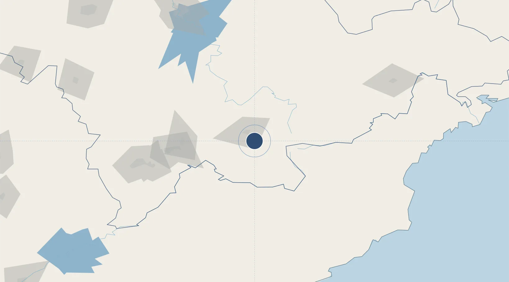
42.0669°, 127.6022°
8,530 ft
Longest runway
1
Runways
2,874 ft
Elevation

Runway & Layout

Changbaishan Airport runway & taxiway layout
Runway & taxiway layout — OpenStreetMap (ODbL) / OurAirports

Runways · 1

RunwayDimensions SurfaceTrue headingLit
01/19 8,530 × —ft
OurAirports

Airport Specifications

IATA code
NBS
OurAirports
ICAO code
ZYBS
OurAirports
Airport class
Medium airport
OurAirports
Scheduled service
Yes
OurAirports
Served city
Baishan
OurAirports

Location

Location of ZYBS
Natural Earth 10m (public domain) · Jilin · ZYBS · 42.07, 127.60GoogleOSMYandex

Nearby Logistics Neighbours

Airports
  1. 1Tonghua Sanyuanpu Airport154 km
  2. 2Hwangsuwon Airbase161 km
  3. 3Yanji Chaoyangchuan Airport177 km
  4. 4Orang (Chongjin) Airport184 km
  5. 5Changjin Air Force Base191 km
Nearest neighbours — logibook spatial index (haversine) over the source coordinates
Cities
  1. 1Quanyang32 km
  2. 2Baishan99 km
  3. 3Qingshi119 km
  4. 4Ji'an157 km
  5. 5Odaejin194 km
Nearest neighbours — logibook spatial index (haversine) over the source coordinates
Ports
  1. 1Ch'ongjin186 km
  2. 2Kimch'aek205 km
  3. 3Najin223 km
  4. 4Hungnam248 km
  5. 5Pos'yet271 km
Nearest neighbours — logibook spatial index (haversine) over the source coordinates
Trade Zones
  1. 1Changbaishan Protection development Zone, Jilin Province12 km
  2. 2Fusong Industrial Park19 km
  3. 3Changbai Economic Development Zone87 km
  4. 4Hyesan Economic Development Zone88 km
  5. 5Baishan Economic Development Zone99 km
Nearest neighbours — logibook spatial index (haversine) over the source coordinates
DatabookThe Record of Consolidated Knowledge
China beyond logistics?
Browse databook

All Sources

AirportsOurAirports
Public domain
Portsthe NGA World Port Index
Public domain (US gov)
LocationsUN/LOCODE
UN/LOCODE — free
Trade Zonesthe World Bank SEZ database
CC BY 4.0
Trade ZonesOpen Zone Map
CC BY
InfrastructureOpenStreetMap
ODbL 1.0
← China airports