Diversified Zone · China

Yongji Economic Development Zone Active
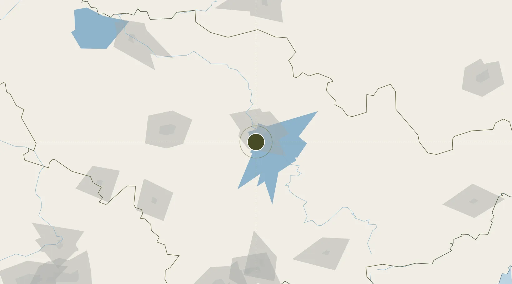
43.7075°, 126.5324°
2,000 ha
Zone area
344.2 km
Nearest port
75.1 km
Nearest airport

Gateway access

Nearest neighbours — logibook spatial index (haversine) over the source coordinates

Zone profile

Zone type
Diversified Zone
Open Zone Map
Region
Jilin
Open Zone Map
Status
Active
Open Zone Map
Management
Public
Open Zone Map
Operator
Yongji Economic Development Zone Management committee
Open Zone Map
Legal framework
In April 1998, people's government of Jilin Province approved
Open Zone Map

Location

Location of ozm-819
Natural Earth 10m (public domain) · Jilin · ozm-819 · 43.71, 126.53GoogleOSMYandex

Nearby Logistics Neighbours

Ports
  1. 1Ch'ongjin344 km
  2. 2Najin348 km
  3. 3Pos'yet365 km
  4. 4Zarubino388 km
  5. 5Kimch'aek403 km
Nearest neighbours — logibook spatial index (haversine) over the source coordinates
Airports
  1. 1Changchun Longjia International Airport75 km
  2. 2Changchun Air Base109 km
  3. 3Gongzhuling Air Base142 km
  4. 4Lalin Air Base175 km
  5. 5Siping Air Base191 km
Nearest neighbours — logibook spatial index (haversine) over the source coordinates
Cities
  1. 1Changchun100 km
  2. 2Dehui113 km
  3. 3Jiashan138 km
  4. 4Liaoyuan145 km
  5. 5Quanyang172 km
Nearest neighbours — logibook spatial index (haversine) over the source coordinates
DatabookThe Record of Consolidated Knowledge
China beyond logistics?
Browse databook

All Sources

Trade ZonesOpen Zone Map
CC BY
Portsthe NGA World Port Index
Public domain (US gov)
AirportsOurAirports
Public domain
LocationsUN/LOCODE
UN/LOCODE — free
← China trade zones