Industrial Zone · Vietnam
Tam Thang Industrial Zone
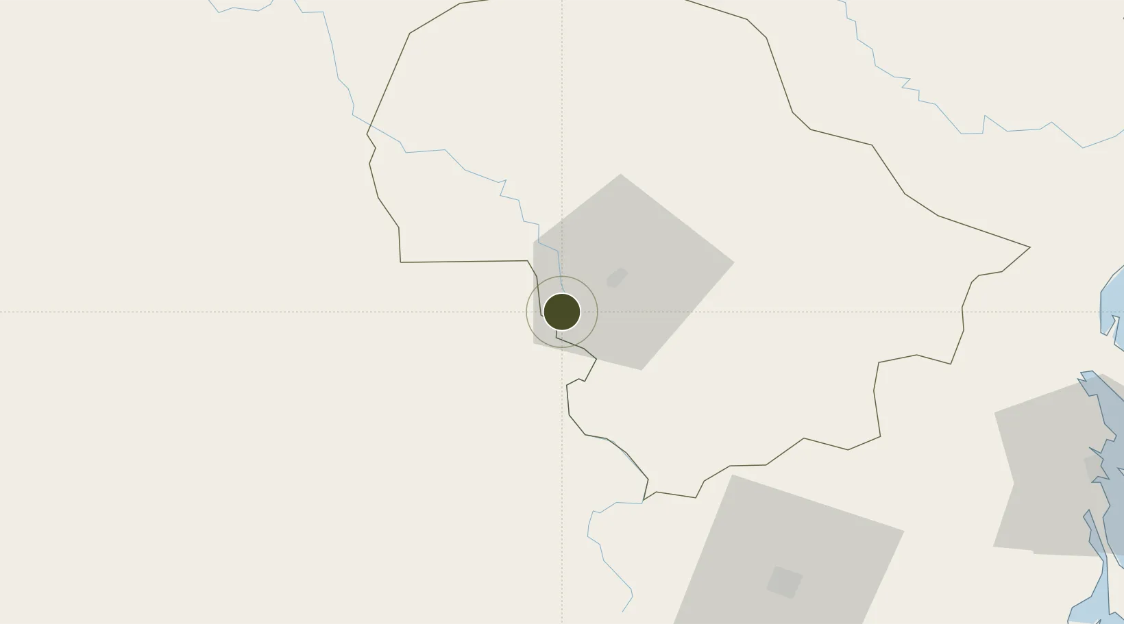
12.5993°, 107.9240°
181 ha
Zone area
147.4 km
Nearest port
22.6 km
Nearest airport
Gateway access
Zone profile
Zone type
Industrial Zone
Region
Đắk Lắk
Established
2002
Management
Public agency
Operator
Chu Lai Open Economic Zone Management Board
Regulatory authority
Chairmen of Provincial People's Committees
Legal framework
Law on Foreign Investment in Vietnam, 1996; Decree No. 36/1997/CP on The Regulation of Industrial, Economic and Export processing zones
Location
Fiscal & incentives
Corporate tax
20%
Tax relief
100% exempt
Relief duration
4 years
VAT
No exemption
Import duty (inputs)
0% exempt
Import duty (capex)
100% exempt
Profit repatriation
No exemption
Capital gains
No exemption
Withholding tax
No exemption
Min. investment
None
Min. export
0%
Employment incentive
No exemption
Developer incentive
No established framework
Nearby Logistics Neighbours
Ports
- 1Nha Trang147 km
- 2Vinh Cam Ranh157 km
- 3Qui Nhon192 km
- 4Thanh Hoa235 km
- 5Cat Lai240 km
Airports
- 1Buon Ma Thuot Airport23 km
- 2Lien Khuong Airport106 km
- 3Cam Ranh International Airport / Cam Ranh Air Base156 km
- 4Pleiku Airport157 km
- 5Dong Tac Airport161 km
Cities
- 1Buon Ma Thuot16 km
- 2Ninh Hòa132 km
- 3Trung Hoa133 km
- 4Hiep Thanh154 km
- 5Pleiku154 km
Trade Zones
- 1Phu Hoi Industrial Zone112 km
- 2Lộc SÆ¡n Industrial Zone121 km
- 3Đại Lao Industrial Zone126 km
- 4Bắc Vân Phong Special Economic Zone132 km
- 5Suoi Dau Industrial Zone134 km
DatabookThe Record of Consolidated Knowledge
Vietnam beyond logistics?