Transport Functions
Multimodal
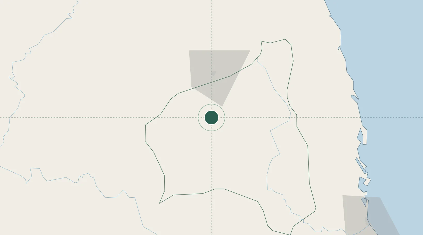
Hub Profile
Place type
Regional capital
Region
Gia Lai
Population
114,225
Time zone
Asia/Ho_Chi_Minh
Elevation
760 m
Location
Nearby Logistics Neighbours
Cities
- 1Tan Canh76 km
- 2Bong Son121 km
- 3Qui Nhon135 km
- 4Tan Cang - Mien Trung Terminal135 km
- 5Thi Nai Port137 km
Ports
- 1Qui Nhon135 km
- 2Nha Trang235 km
- 3Da Nang237 km
- 4Vinh Cam Ranh266 km
- 5Thanh Hoa377 km
Airports
- 1Pleiku Airport3 km
- 2Phu Cat Airport113 km
- 3Ratanakiri Airport113 km
- 4Buon Ma Thuot Airport147 km
- 5Chu Lai Airport175 km
Trade Zones
- 1Bình Nghi Industrial Zone105 km
- 2Hòa Hội Industrial Zone112 km
- 3Cát Trinh Industrial Zone115 km
- 4Nhon Hoa Industrial Zone117 km
- 5Bồng Sơn Industrial Zone118 km
DatabookThe Record of Consolidated Knowledge
Vietnam beyond logistics?