Diversified Zone · Vietnam

Hòn La Industrial Zone Ii Active
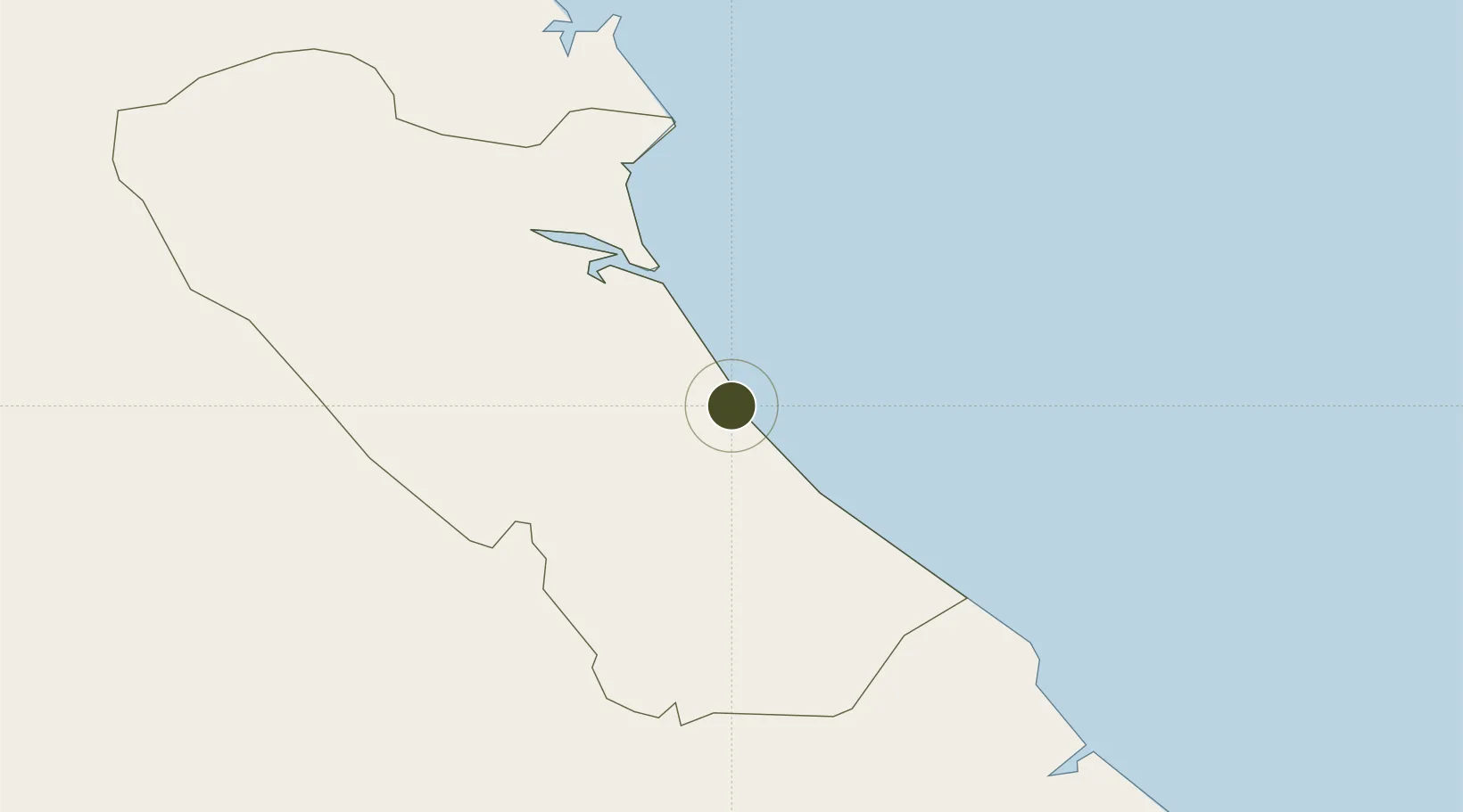
17.4803°, 106.6177°
177 ha
Zone area
169.0 km
Nearest port
4.8 km
Nearest airport

Gateway access

Nearest neighbours — logibook spatial index (haversine) over the source coordinates

Zone profile

Zone type
Diversified Zone
Open Zone Map
Region
Quảng Bình
Open Zone Map
Status
Active
Open Zone Map
Management
Public
Open Zone Map
Operator
Quang Binh Economic Zone Authority
Open Zone Map
Legal framework
Decree No.82/2018/ND-CP on Management of Industrial Parks and Economic Zones, Decree No 218/2013/ND-CP
Open Zone Map

Location

Location of ozm-255
Natural Earth 10m (public domain) · Quảng Bình · ozm-255 · 17.48, 106.62GoogleOSMYandex

Nearby Logistics Neighbours

Ports
  1. 1Nghe Tinh169 km
  2. 2Da Nang229 km
  3. 3Basuo277 km
  4. 4Sanya314 km
  5. 5Yangpu369 km
Nearest neighbours — logibook spatial index (haversine) over the source coordinates
Airports
  1. 1Dong Hoi Airport5 km
  2. 2Phu Bai International Airport167 km
  3. 3Vinh Airport172 km
  4. 4Nakhon Phanom Airport210 km
  5. 5Savannakhet Airport223 km
Nearest neighbours — logibook spatial index (haversine) over the source coordinates
Cities
  1. 1Quang Ninh9 km
  2. 2Quäng Bình30 km
  3. 3Hon La Port52 km
  4. 4Vung Áng68 km
  5. 5Son Duong Port71 km
Nearest neighbours — logibook spatial index (haversine) over the source coordinates
Trade Zones
  1. 1Hòn La Port Industrial Zone0 km
  2. 2Tay Bac Dong Hoi Industrial Zone1 km
  3. 3(Tay) Đồng Hới Industrial Park4 km
  4. 4Bac Đồng Hới Industrial Zone7 km
  5. 5Tay Bac Quan Hau Industrial Zone8 km
Nearest neighbours — logibook spatial index (haversine) over the source coordinates
DatabookThe Record of Consolidated Knowledge
Vietnam beyond logistics?
Browse databook

All Sources

Trade ZonesOpen Zone Map
CC BY
Portsthe NGA World Port Index
Public domain (US gov)
AirportsOurAirports
Public domain
LocationsUN/LOCODE
UN/LOCODE — free
← Vietnam trade zones