UN/LOCODE hub · Thailand
THSAM
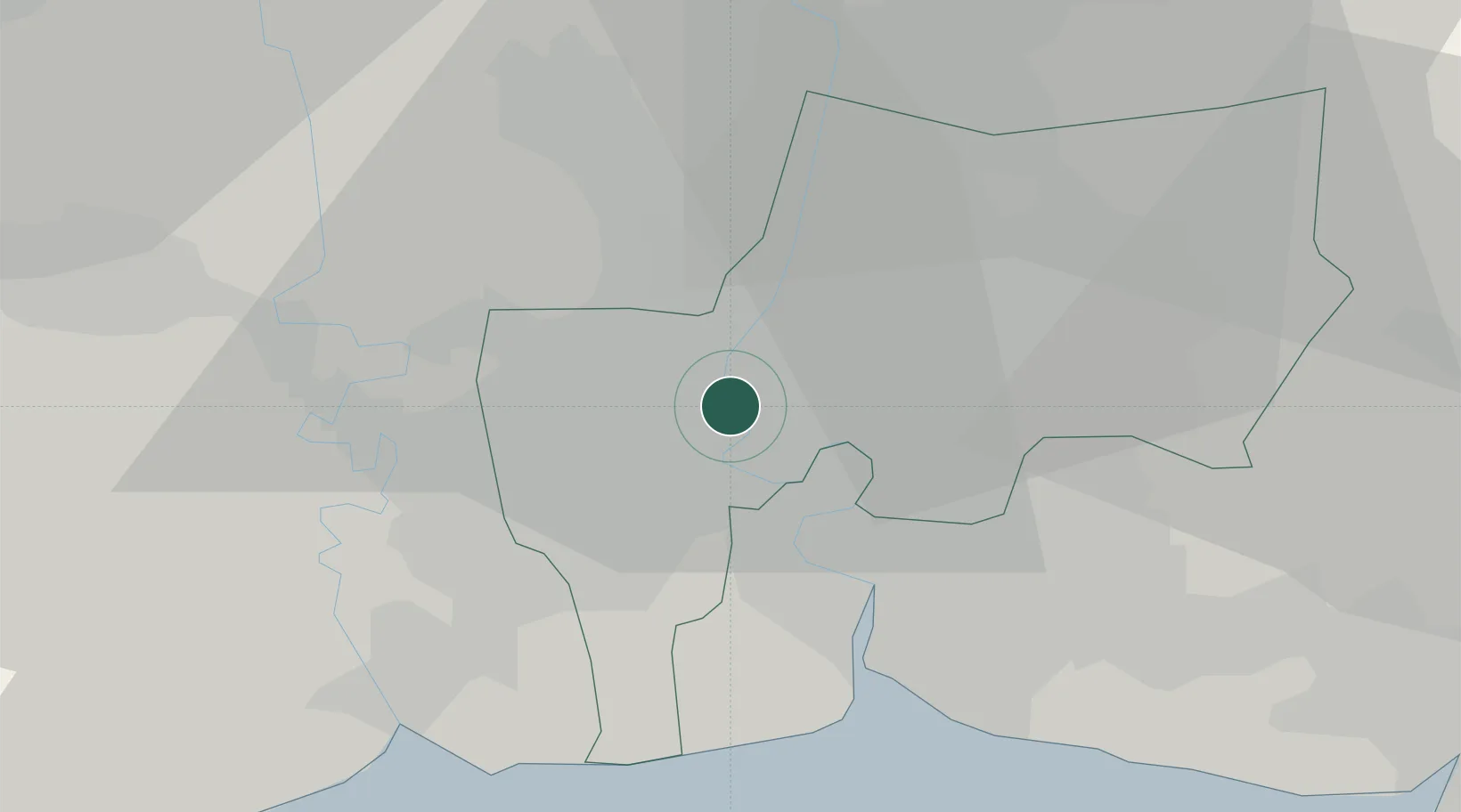
Samphanthawong
13.7333°, 100.5000°
24,150
Population
2
Transport functions
Transport Functions
Rail
Road
Hub Profile
Place type
Provincial seat
Region
Bangkok
Population
24,150
Time zone
Asia/Bangkok
Elevation
2 m
Location
Nearby Logistics Neighbours
Cities
- 1Bang Rak4 km
- 2Phahon Yothin Customs House8 km
- 3Sahathai Coastal Seaport10 km
- 4Actu-lum11 km
- 5Nonthaburi11 km
Ports
- 1Bangkok2 km
- 2Ko Si Chang Terminal72 km
- 3Si Racha Terminal78 km
- 4Siam Seaport79 km
- 5Laem Chabang83 km
Airports
DatabookThe Record of Consolidated Knowledge
Thailand beyond logistics?