Transport Functions
Port
Rail
Hub Profile
Region
10
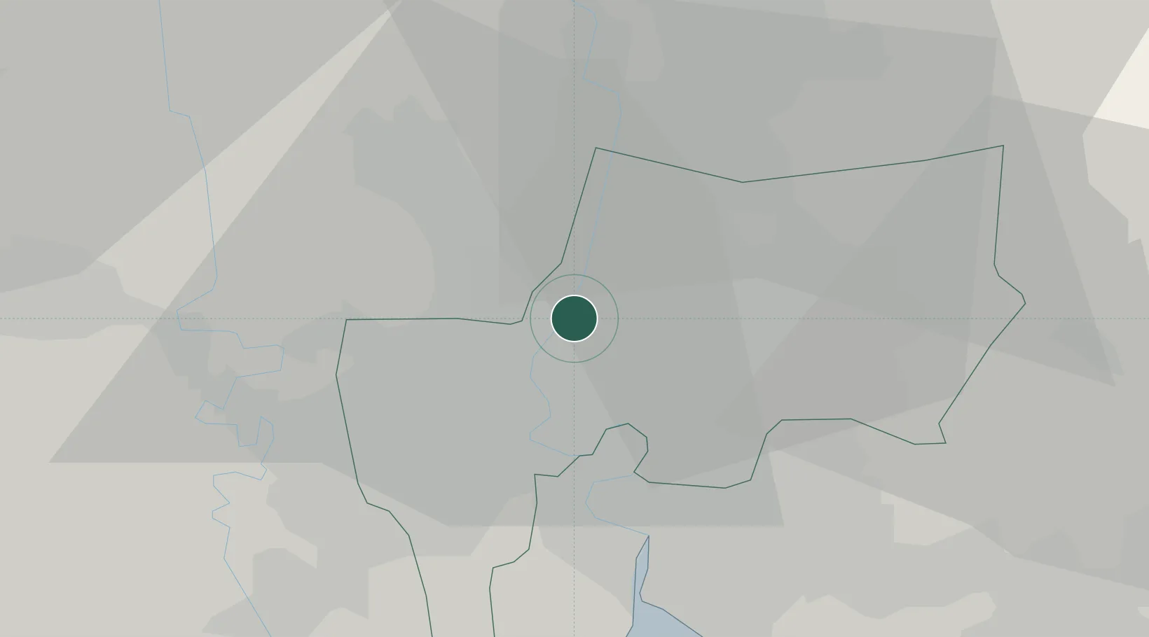
Location
Nearby Logistics Neighbours
Cities
- 1Nonthaburi7 km
- 2Bang Rak7 km
- 3Samphanthawong8 km
- 4Phra Khanong13 km
- 5Siam Bangkok Port16 km
Ports
- 1Bangkok7 km
- 2Ko Si Chang Terminal77 km
- 3Si Racha Terminal82 km
- 4Siam Seaport83 km
- 5Laem Chabang88 km
Airports
DatabookThe Record of Consolidated Knowledge
Thailand beyond logistics?