Free Zone · Thailand

Ban Wa (Hi-Tech) Industrial Estate Active
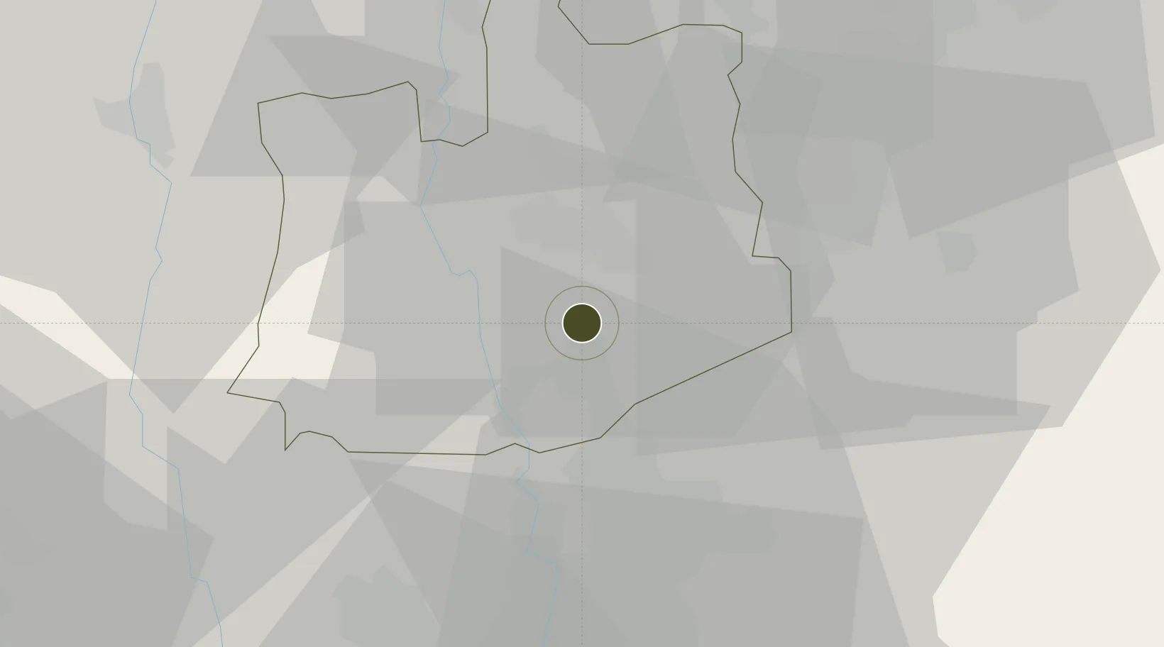
14.2514°, 100.5995°
167 ha
Zone area
56.8 km
Nearest port
37.7 km
Nearest airport

Gateway access

Nearest neighbours — logibook spatial index (haversine) over the source coordinates

Zone profile

Zone type
Free Zone
the World Bank SEZ database
Specialization
Tech
the World Bank SEZ database
Region
Phra Nakhon Si Ayutthaya
the World Bank SEZ database
Status
Active
the World Bank SEZ database
Established
1989
the World Bank SEZ database
Management
PPP
the World Bank SEZ database
Operator
Industrial Estate Authority of Thailand and Thai Industrial Estate Corporation Limited
the World Bank SEZ database
Regulatory authority
Industrial Estate Authority of Thailand
the World Bank SEZ database
Legal framework
Industrial Estate Authority of Thailand Act
the World Bank SEZ database

Location

Location of THA9
Natural Earth 10m (public domain) · Phra Nakhon Si Ayutthaya · THA9 · 14.25, 100.60GoogleOSMYandex

Fiscal & incentives

Corporate tax
20%
the World Bank SEZ database
Tax relief
No exemption
the World Bank SEZ database
Relief duration
No exemption
the World Bank SEZ database
VAT
100% exempt from VAT and excise tax on imported raw materials and machinery
the World Bank SEZ database
Import duty (inputs)
100% exempt
the World Bank SEZ database
Import duty (capex)
100% exempt
the World Bank SEZ database
Profit repatriation
No exemption
the World Bank SEZ database
Capital gains
No exemption
the World Bank SEZ database
Withholding tax
No exemption
the World Bank SEZ database
Min. investment
None
the World Bank SEZ database
Min. export
100%
the World Bank SEZ database
Employment incentive
No exemption
the World Bank SEZ database
Developer incentive
No established framework
the World Bank SEZ database

Nearby Logistics Neighbours

Ports
  1. 1Bangkok57 km
  2. 2Ko Si Chang Terminal123 km
  3. 3Si Racha Terminal125 km
  4. 4Siam Seaport128 km
  5. 5Laem Chabang134 km
Nearest neighbours — logibook spatial index (haversine) over the source coordinates
Airports
  1. 1Don Mueang International Airport38 km
  2. 2Suvarnabhumi Airport65 km
  3. 3Khok Kathiam Airport70 km
  4. 4Kamphaeng Saen Airport75 km
  5. 5Takhli Royal Thai Air Force Base119 km
Nearest neighbours — logibook spatial index (haversine) over the source coordinates
Cities
  1. 1Nonthaburi48 km
  2. 2Phahon Yothin Customs House51 km
  3. 3Bang Rak58 km
  4. 4Samphanthawong59 km
  5. 5Lat Krabang61 km
Nearest neighbours — logibook spatial index (haversine) over the source coordinates
Trade Zones
  1. 1Bang Pa-in Industrial Estate6 km
  2. 2Rojana Industrial Park, Ayutthaya8 km
  3. 3Nava Nakorn Pathumthani Industrial Zone15 km
  4. 4Thailand Science Park19 km
  5. 5Saha Rattana Nakorn Industrial Estate27 km
Nearest neighbours — logibook spatial index (haversine) over the source coordinates
DatabookThe Record of Consolidated Knowledge
Thailand beyond logistics?
Browse databook

All Sources

Trade Zonesthe World Bank SEZ database
CC BY 4.0
Portsthe NGA World Port Index
Public domain (US gov)
AirportsOurAirports
Public domain
LocationsUN/LOCODE
UN/LOCODE — free
← Thailand trade zones