Transport Functions
Rail
Road
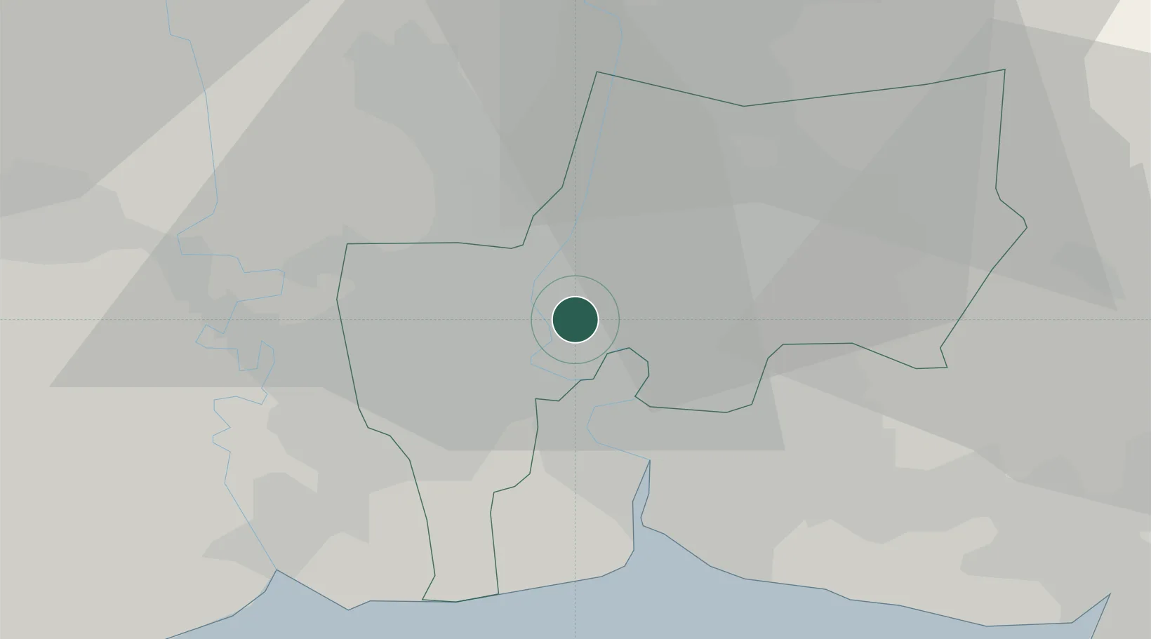
Hub Profile
Place type
Provincial seat
Region
Bangkok
Population
99,273
Time zone
Asia/Bangkok
Elevation
11 m
Location
Nearby Logistics Neighbours
Cities
- 1Samphanthawong4 km
- 2Phahon Yothin Customs House7 km
- 3Phra Khanong8 km
- 4Sahathai Coastal Seaport9 km
- 5Siam Bangkok Port9 km
Ports
- 1Bangkok4 km
- 2Ko Si Chang Terminal70 km
- 3Si Racha Terminal75 km
- 4Siam Seaport77 km
- 5Laem Chabang82 km
Airports
DatabookThe Record of Consolidated Knowledge
Thailand beyond logistics?