Transport Functions
Port
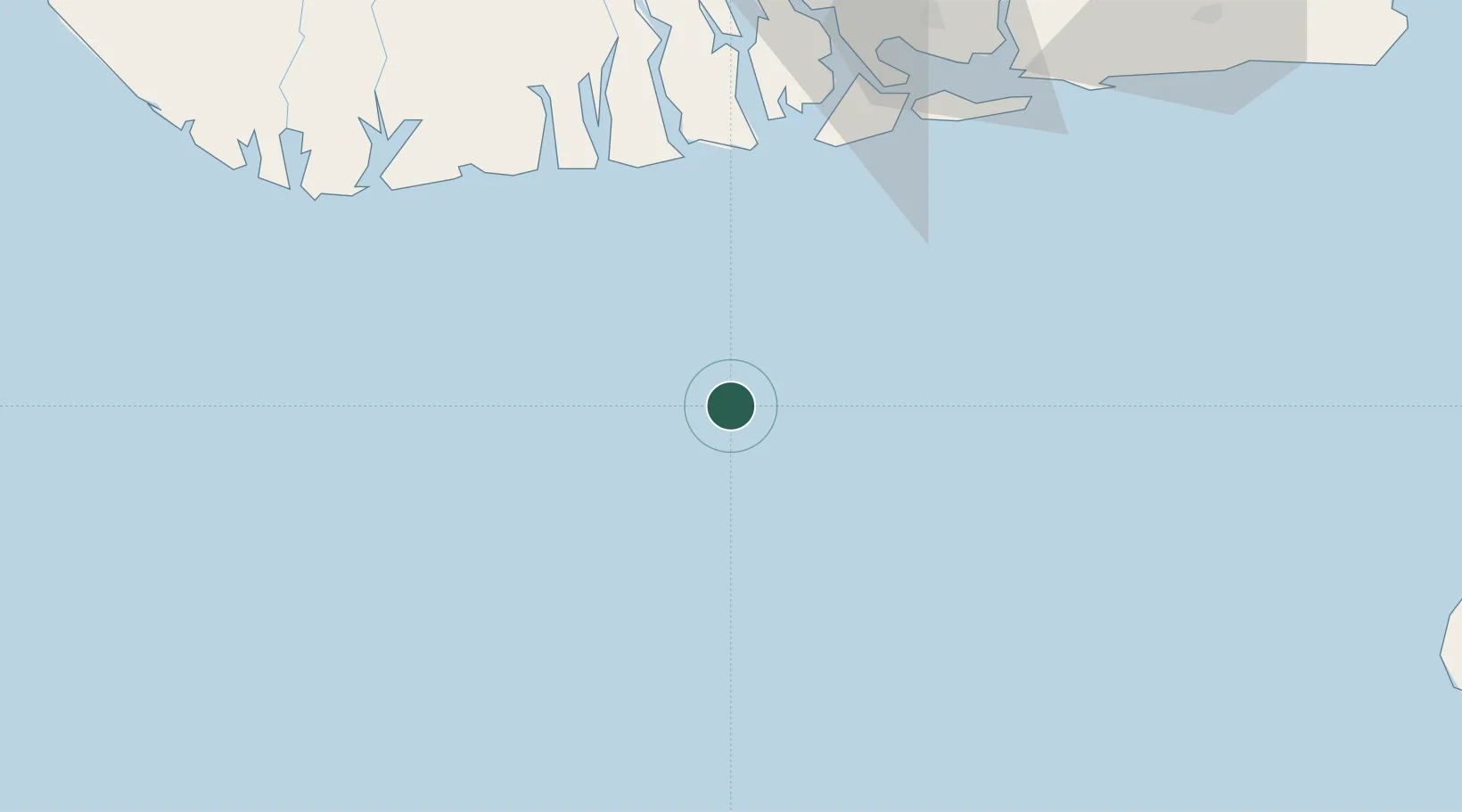
Location
Nearby Logistics Neighbours
Cities
- 1Okono40 km
- 2Ima62 km
- 3Onne95 km
- 4Kirikakiri96 km
- 5Port Harcourt102 km
Ports
- 1Okono Terminal40 km
- 2Bonny70 km
- 3Brass Oil Terminal80 km
- 4Akpo Oil Terminal81 km
- 5Odudu Terminal90 km
Airports
DatabookThe Record of Consolidated Knowledge
Nigeria beyond logistics?