Diversified Zone · South Korea

Iksan Foreign Investment Zone Active
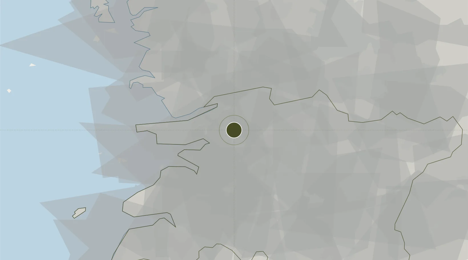
35.9486°, 126.9417°
133 ha
Zone area
29.5 km
Nearest port
29.7 km
Nearest airport

Gateway access

Nearest neighbours — logibook spatial index (haversine) over the source coordinates

Zone profile

Zone type
Diversified Zone
Open Zone Map
Region
North Jeolla
Open Zone Map
Status
Active
Open Zone Map
Management
Public
Open Zone Map
Operator
Iksan City
Open Zone Map
Legal framework
Foreign Investment Promotion Act: Expand Act No. 16131, Dec. 31, 2018.
Open Zone Map

Location

Location of ozm-4213
Natural Earth 10m (public domain) · North Jeolla · ozm-4213 · 35.95, 126.94GoogleOSMYandex

Nearby Logistics Neighbours

Ports
  1. 1Kunsan30 km
  2. 2Pyeongtaek Hang118 km
  3. 3Daesan Hang128 km
  4. 4Gwangyang Hang137 km
  5. 5Mokpo139 km
Nearest neighbours — logibook spatial index (haversine) over the source coordinates
Airports
  1. 1Gunsan Airport / Gunsan Air Base30 km
  2. 2Gwangju Airport93 km
  3. 3Cheongju International Airport/Cheongju Air Base (K-59/G-513)99 km
  4. 4Camp Humphreys (A-511) Desiderio Army Airfield113 km
  5. 5Muan International Airport118 km
Nearest neighbours — logibook spatial index (haversine) over the source coordinates
Cities
  1. 1Iksan9 km
  2. 2Gimje18 km
  3. 3Bongdong-eup/Wanju-gun19 km
  4. 4Chonju23 km
  5. 5Jeonju24 km
Nearest neighbours — logibook spatial index (haversine) over the source coordinates
Trade Zones
  1. 1Iksan National Industrial Complex3 km
  2. 2Gimje Free Trade Zone13 km
  3. 3Wanju General Industrial Complex17 km
  4. 4Jeonju Pro-environmental Advanced General Industrial Complex17 km
  5. 5Jeonju 1 General Industrial Complex18 km
Nearest neighbours — logibook spatial index (haversine) over the source coordinates
DatabookThe Record of Consolidated Knowledge
South Korea beyond logistics?
Browse databook

All Sources

Trade ZonesOpen Zone Map
CC BY
Portsthe NGA World Port Index
Public domain (US gov)
AirportsOurAirports
Public domain
LocationsUN/LOCODE
UN/LOCODE — free
← South Korea trade zones