Transport Functions
Rail
Road
Hub Profile
Place type
Populated place
Region
Chungcheongnam-do
Population
658,831
Time zone
Asia/Seoul
Elevation
40 m
Logistics facilities
1
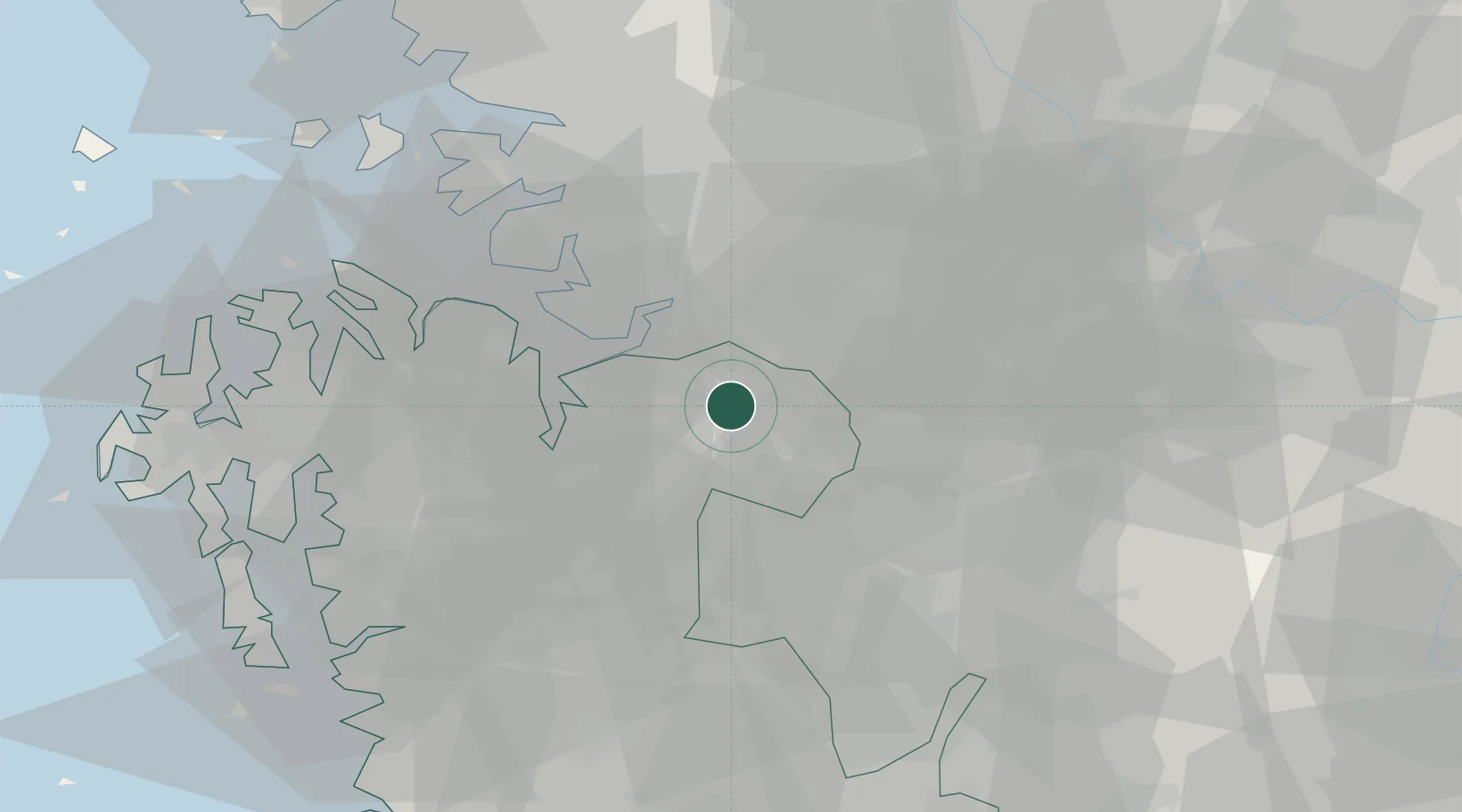
Location
Nearby Logistics Neighbours
Cities
- 1Asan13 km
- 2Chonui/Yeongi-gun18 km
- 3Anseong23 km
- 4Songtan28 km
- 5Osong30 km
Ports
- 1Pyeongtaek Hang36 km
- 2Daesan Hang69 km
- 3Inchon85 km
- 4Kunsan104 km
- 5Haeju Hang182 km
Airports
DatabookThe Record of Consolidated Knowledge
South Korea beyond logistics?