Medium airport · Kenya

Amboseli AirportHKAM
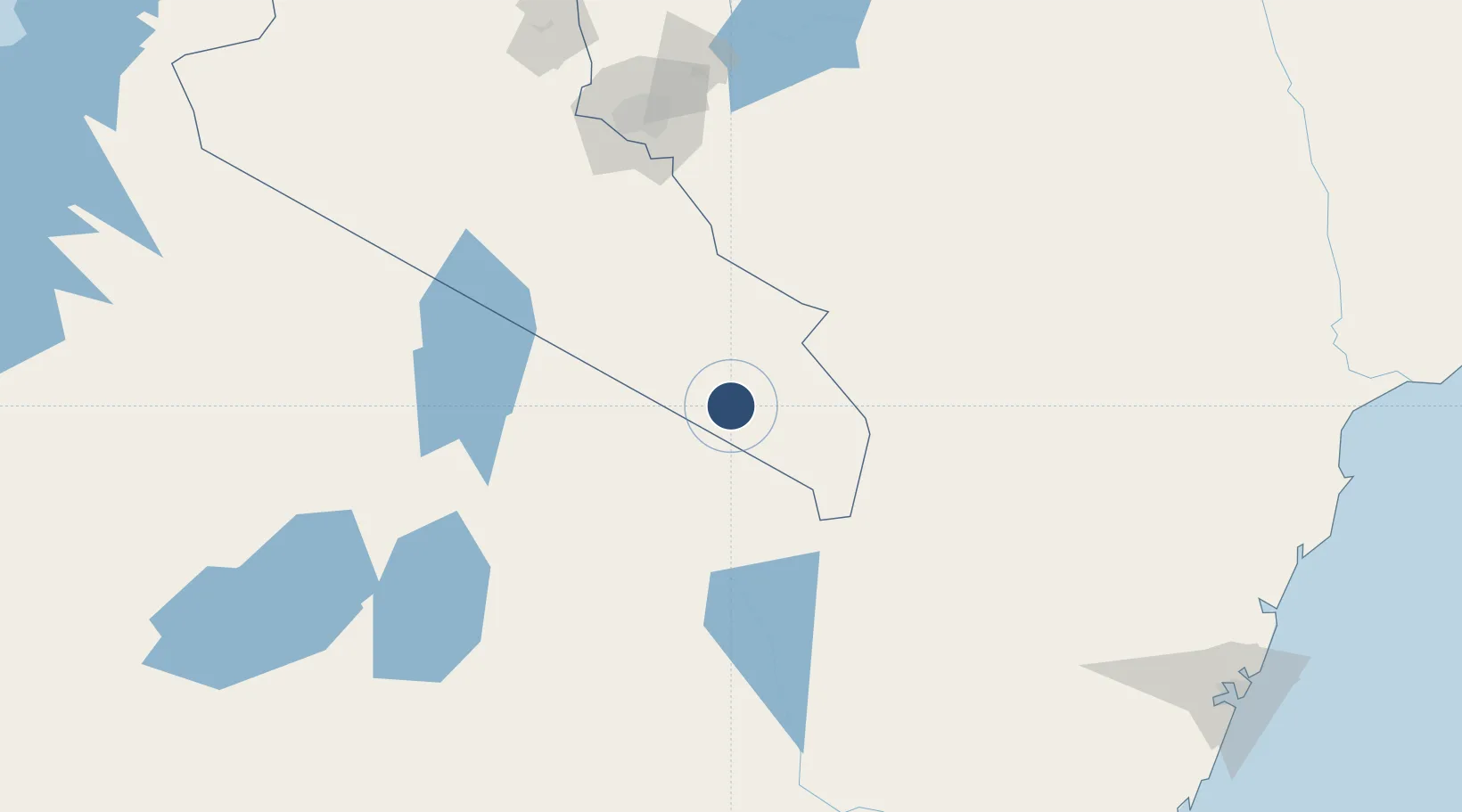
-2.6450°, 37.2531°
3,284 ft
Longest runway
1
Runways
3,755 ft
Elevation

Runway & Layout

Amboseli Airport runway & taxiway layout
Runway & taxiway layout — OpenStreetMap (ODbL) / OurAirports

Runways · 1

RunwayDimensions SurfaceTrue headingLit
08/26 3,284 × —ft Asphalt
OurAirports

Airport Specifications

IATA code
ASV
OurAirports
ICAO code
HKAM
OurAirports
Airport class
Medium airport
OurAirports
Scheduled service
Yes
OurAirports
Runway surface
Asphalt
OurAirports
Served city
Amboseli National Park
OurAirports

Location

Location of HKAM
Natural Earth 10m (public domain) · Rift Valley · HKAM · -2.65, 37.25GoogleOSMYandex

Nearby Logistics Neighbours

Airports
  1. 1Kilimanjaro International Airport89 km
  2. 2Arusha Airport106 km
  3. 3Jomo Kenyatta International Airport152 km
  4. 4Nairobi Wilson Airport155 km
  5. 5Moi Air Base158 km
Nearest neighbours — logibook spatial index (haversine) over the source coordinates
Cities
  1. 1Moshi79 km
  2. 2Nairobi151 km
  3. 3Mwingi211 km
  4. 4Naivasha233 km
  5. 5Mombasa306 km
Nearest neighbours — logibook spatial index (haversine) over the source coordinates
Ports
  1. 1Kilifi310 km
  2. 2Mombasa311 km
  3. 3Malindi326 km
  4. 4Tanga341 km
  5. 5Lamu407 km
Nearest neighbours — logibook spatial index (haversine) over the source coordinates
Trade Zones
  1. 1Konza Technopolis Special Economic Zone100 km
  2. 2Mererani Export Processing Zone101 km
  3. 3Kisongo Export Processing Zone110 km
  4. 4Ahti River Export Processing Zone135 km
  5. 5Compact Free Trade Zone151 km
Nearest neighbours — logibook spatial index (haversine) over the source coordinates
DatabookThe Record of Consolidated Knowledge
Kenya beyond logistics?
Browse databook

All Sources

AirportsOurAirports
Public domain
Portsthe NGA World Port Index
Public domain (US gov)
LocationsUN/LOCODE
UN/LOCODE — free
Trade Zonesthe World Bank SEZ database
CC BY 4.0
Trade ZonesOpen Zone Map
CC BY
InfrastructureOpenStreetMap
ODbL 1.0
← Kenya airports