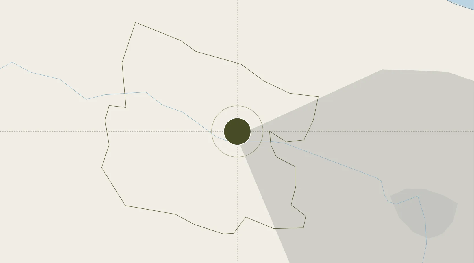
Free Trade Zone · Dominican Republic

Zona Franca de Esperanza Active

19.5906°, -70.9836°
54 ha
Zone area
35.3 km
Nearest port
44.8 km
Nearest airport

Gateway access

Nearest neighbours — logibook spatial index (haversine) over the source coordinates

Zone profile

Zone type
Free Trade Zone
Open Zone Map
Region
Valverde
Open Zone Map
Status
Active
Open Zone Map
Management
Public
Open Zone Map
Operator
Operadora de Zonas Francas Villa Esperanza, S.A.
Open Zone Map
Legal framework
Law 8-90, Amended in December 2007
Open Zone Map

Location

Location of ozm-1832
Natural Earth 10m (public domain) · Valverde · ozm-1832 · 19.59, -70.98GoogleOSMYandex

Nearby Logistics Neighbours

Ports
  1. 1Amber Cove35 km
  2. 2Puerto Plata38 km
  3. 3Pepillo Salcedo81 km
  4. 4Manzanillo82 km
  5. 5Cap Haitien129 km
Nearest neighbours — logibook spatial index (haversine) over the source coordinates
Airports
  1. 1Cibao International Airport45 km
  2. 2Gregorio Luperon International Airport47 km
  3. 3Cap Haitien International Airport128 km
  4. 4Samaná El Catey International Airport136 km
  5. 5Maria Montez International Airport150 km
Nearest neighbours — logibook spatial index (haversine) over the source coordinates
Cities
  1. 1Villa Gonzalez22 km
  2. 2Piloto23 km
  3. 3Hato del Yaque27 km
  4. 4Luperon35 km
  5. 5Licey40 km
Nearest neighbours — logibook spatial index (haversine) over the source coordinates
DatabookThe Record of Consolidated Knowledge
Dominican Republic beyond logistics?
Browse databook

All Sources

Trade ZonesOpen Zone Map
CC BY
Portsthe NGA World Port Index
Public domain (US gov)
AirportsOurAirports
Public domain
LocationsUN/LOCODE
UN/LOCODE — free
← Dominican Republic trade zones