Small airport · Vanuatu
Tongoa AirportNVST
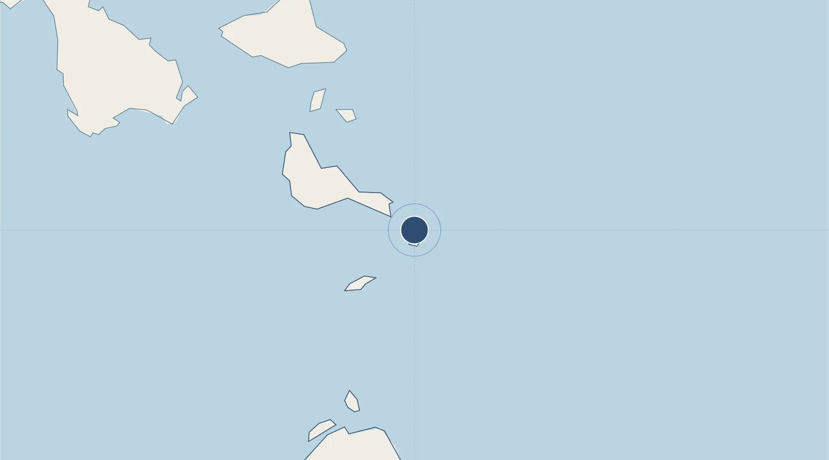
-16.8911°, 168.5510°
2,329 ft
Longest runway
1
Runways
443 ft
Elevation
Runway & Layout

Runways · 1
| Runway | Dimensions | Surface | True heading | Lit |
|---|---|---|---|---|
| 11/29 | 2,329 × 75ft | Grass | — | — |
Airport Specifications
IATA code
TGH
ICAO code
NVST
Airport class
Small airport
Scheduled service
Yes
Runway surface
Grass
Served city
Tongoa Island
Location
Nearby Logistics Neighbours
Airports
- 1Valesdir Airport41 km
- 2Lamen Bay Airport54 km
- 3Tavie Airport61 km
- 4Lamap Airport91 km
- 5Bauerfield International Airport93 km
Cities
- 1Havannah Harbour84 km
- 2Luganville211 km
- 3Lifou474 km
- 4Maré516 km
- 5Poro574 km
Ports
- 1Port Vila97 km
- 2Luganville213 km
- 3Baie Ugue569 km
- 4Baie De Kouaoua576 km
- 5Noumea639 km
Trade Zones
- 1Vanuatu Economic Development Zone213 km
- 2Lautoka Special Zone947 km
- 3Rotuma-Kadavu Tax-Free Region1056 km
- 4Kalabu Tax Free Zone1061 km
- 5Nausori-Ba Tax-Free Region1065 km
DatabookThe Record of Consolidated Knowledge
Vanuatu beyond logistics?