Small airport · Vanuatu
Valesdir AirportNVSV
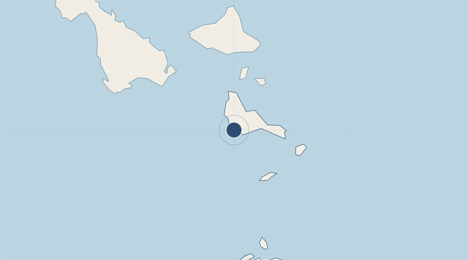
-16.7961°, 168.1770°
2,625 ft
Longest runway
1
Runways
10 ft
Elevation
Runway & Layout

Runways · 1
| Runway | Dimensions | Surface | True heading | Lit |
|---|---|---|---|---|
| 15/33 | 2,625 × 98ft | Grass | — | — |
Airport Specifications
IATA code
VLS
ICAO code
NVSV
Airport class
Small airport
Scheduled service
Yes
Runway surface
Grass
Served city
Epi Island
Location
Nearby Logistics Neighbours
Airports
- 1Lamen Bay Airport24 km
- 2Tavie Airport41 km
- 3Tongoa Airport41 km
- 4Lamap Airport53 km
- 5Craig Cove Airport65 km
Cities
- 1Havannah Harbour88 km
- 2Luganville177 km
- 3Lifou474 km
- 4Maré523 km
- 5Poro564 km
Ports
- 1Port Vila105 km
- 2Luganville179 km
- 3Baie Ugue557 km
- 4Baie De Kouaoua567 km
- 5Noumea637 km
Trade Zones
- 1Vanuatu Economic Development Zone179 km
- 2Lautoka Special Zone988 km
- 3Rotuma-Kadavu Tax-Free Region1097 km
- 4Kalabu Tax Free Zone1102 km
- 5Nausori-Ba Tax-Free Region1106 km
DatabookThe Record of Consolidated Knowledge
Vanuatu beyond logistics?