Small airport · Vanuatu
Tavie AirportNVSI
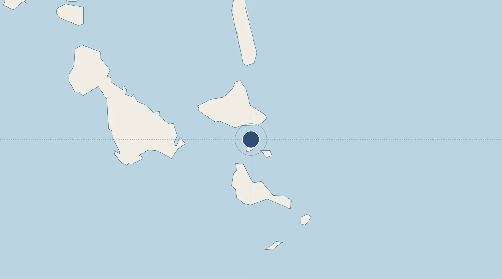
-16.4320°, 168.2355°
1,968 ft
Longest runway
1
Runways
69 ft
Elevation
Runway & Layout

Runways · 1
| Runway | Dimensions | Surface | True heading | Lit |
|---|---|---|---|---|
| 07/25 | 1,968 × 98ft | Grass | — | — |
Airport Specifications
IATA code
PBJ
ICAO code
NVSI
Airport class
Small airport
Scheduled service
Yes
Runway surface
Grass
Served city
Paama Island
Location
Nearby Logistics Neighbours
Airports
- 1Lamen Bay Airport19 km
- 2Craig Cove Airport38 km
- 3Valesdir Airport41 km
- 4Lamap Airport43 km
- 5Tongoa Airport61 km
Cities
- 1Havannah Harbour128 km
- 2Luganville152 km
- 3Lifou515 km
- 4Maré564 km
- 5Poro603 km
Ports
- 1Port Vila145 km
- 2Luganville153 km
- 3Baie Ugue596 km
- 4Baie De Kouaoua607 km
- 5Noumea678 km
Trade Zones
- 1Vanuatu Economic Development Zone154 km
- 2Lautoka Special Zone987 km
- 3Rotuma-Kadavu Tax-Free Region1098 km
- 4Kalabu Tax Free Zone1103 km
- 5Nausori-Ba Tax-Free Region1107 km
DatabookThe Record of Consolidated Knowledge
Vanuatu beyond logistics?