Transport Functions
Port
Airport
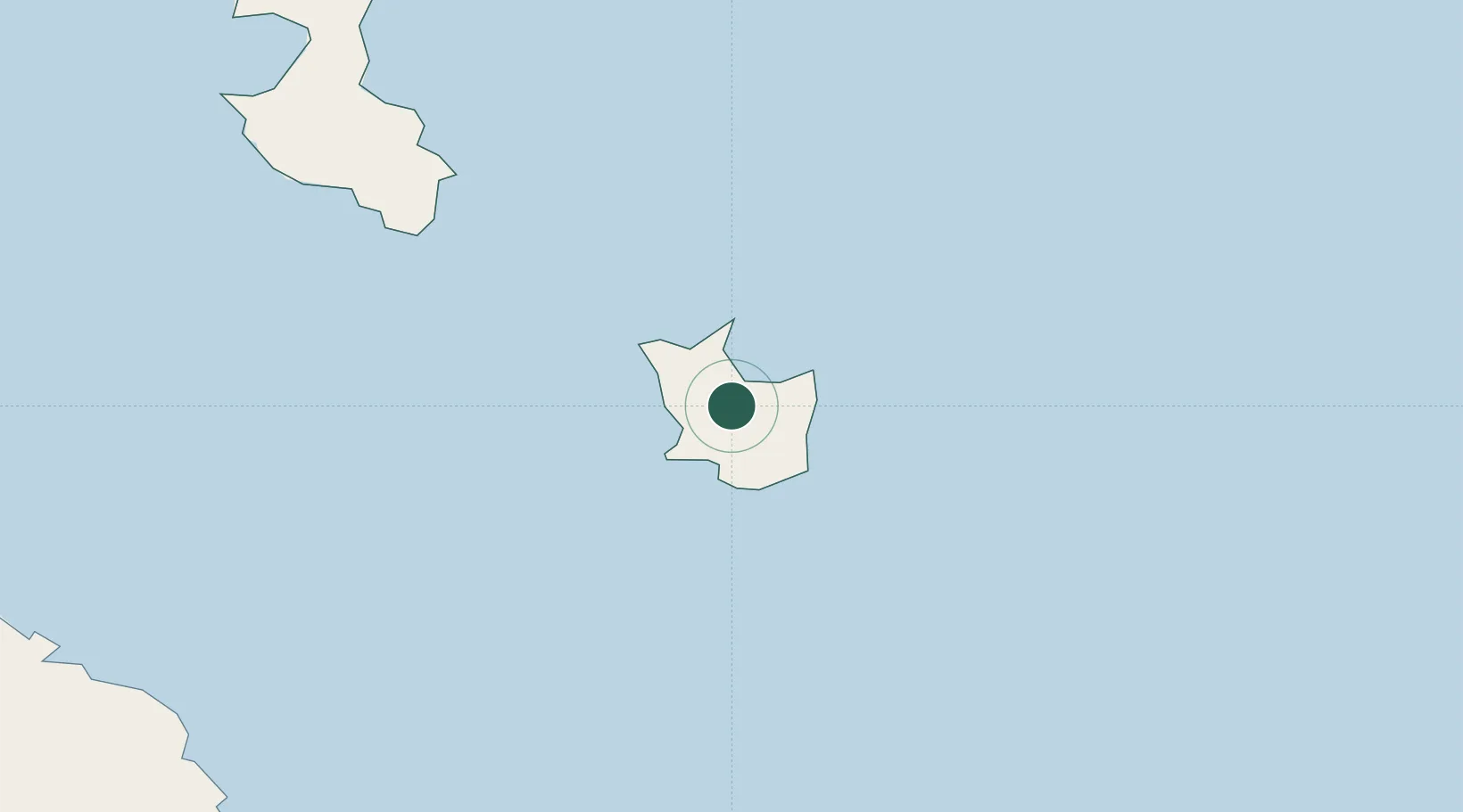
Location
Nearby Logistics Neighbours
Cities
- 1Lifou98 km
- 2Prony151 km
- 3Le Mont-Dore169 km
- 4Ducos178 km
- 5Nouméa181 km
Ports
- 1Noumea182 km
- 2Baie De Kouaoua225 km
- 3Baie Ugue255 km
- 4Port Vila420 km
- 5Luganville671 km
Airports
- 1Maré Airport6 km
- 2Tiga Airport49 km
- 3Lifou Airport112 km
- 4Île des Pins Airport133 km
- 5Ouvéa Airport175 km
Trade Zones
- 1Vanuatu Economic Development Zone672 km
- 2Lautoka Special Zone1080 km
- 3Rotuma-Kadavu Tax-Free Region1154 km
- 4Kalabu Tax Free Zone1162 km
- 5Nausori-Ba Tax-Free Region1168 km
DatabookThe Record of Consolidated Knowledge
New Caledonia beyond logistics?