Transport Functions
Port
Road
Hub Profile
Place type
Populated place
Region
North Province
Time zone
Pacific/Noumea
Elevation
205 m
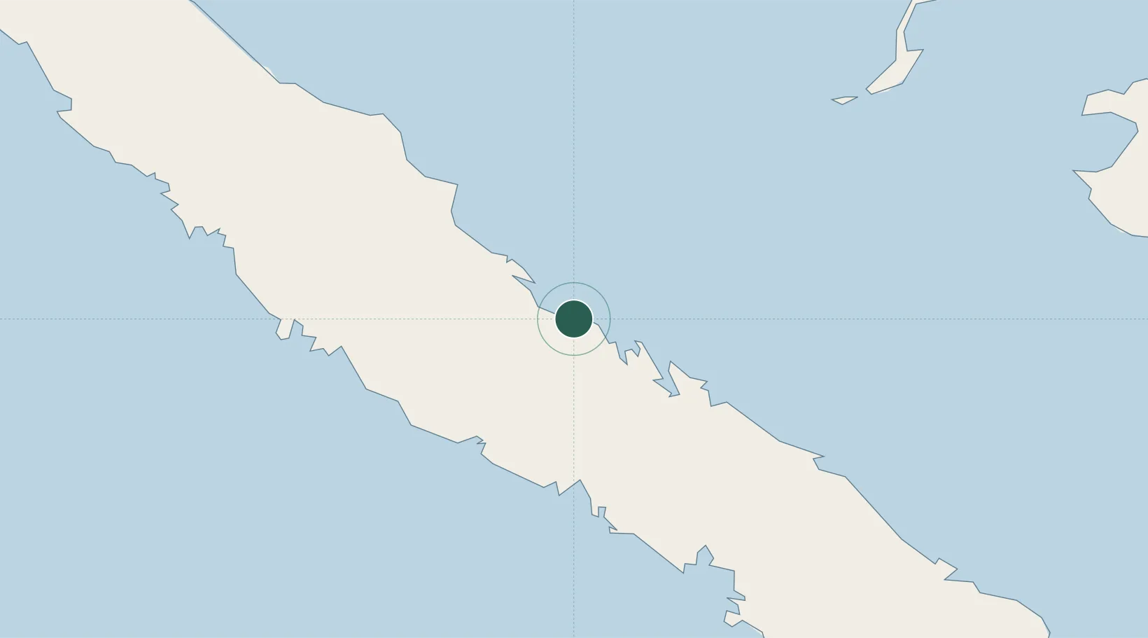
Location
Nearby Logistics Neighbours
Ports
- 1Baie De Kouaoua14 km
- 2Baie Ugue24 km
- 3Noumea132 km
- 4Port Vila481 km
- 5Luganville661 km
Airports
- 1Touho Airport74 km
- 2La Tontouta International Airport95 km
- 3Koné Airport95 km
- 4Ouvéa Airport115 km
- 5Nouméa Magenta Airport132 km
Trade Zones
- 1Vanuatu Economic Development Zone662 km
- 2Lautoka Special Zone1295 km
- 3Rotuma-Kadavu Tax-Free Region1375 km
- 4Kalabu Tax Free Zone1383 km
- 5Nausori-Ba Tax-Free Region1389 km
DatabookThe Record of Consolidated Knowledge
New Caledonia beyond logistics?