Large airport · Vanuatu
Bauerfield International AirportNVVV
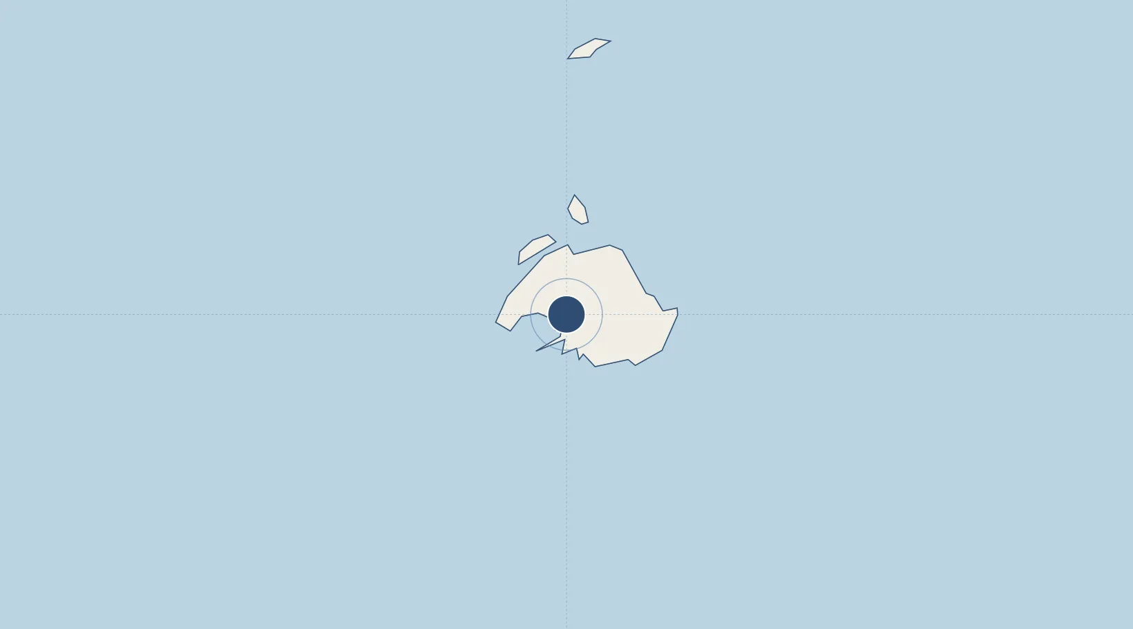
-17.6993°, 168.3200°
8,530 ft
Longest runway
2
Runways
70 ft
Elevation
Runway & Layout

Radio Frequencies
TWR
120.7 MHz
TWR
1133.9 MHz
CTAF
120.7 MHz
AFIS
120.7 MHz
FLT SVC
AFIS
1133.9 MHz
FLT SVC
Navaids
BA NDB Bauerfield 361 kHz
VLI VOR-DME Bauerfield 114.30 MHz
Runways · 2
| Runway | Dimensions | Surface | True heading | Lit |
|---|---|---|---|---|
| 11/29 | 8,530 × 148ft | Asphalt | 118° | ✓ |
| 11R/29L | 3,310 × 105ft | Grass | 118° | — |
Airport Specifications
IATA code
VLI
ICAO code
NVVV
Airport class
Large airport
Scheduled service
Yes
Runway surface
Asphalt
Served city
Port Vila
Location
Nearby Logistics Neighbours
Airports
- 1Tongoa Airport93 km
- 2Valesdir Airport102 km
- 3Lamen Bay Airport125 km
- 4Tavie Airport141 km
- 5Lamap Airport147 km
Cities
- 1Havannah Harbour16 km
- 2Luganville270 km
- 3Lifou381 km
- 4Maré424 km
- 5Poro485 km
Ports
- 1Port Vila4 km
- 2Luganville272 km
- 3Baie Ugue481 km
- 4Baie De Kouaoua486 km
- 5Noumea547 km
Trade Zones
- 1Vanuatu Economic Development Zone273 km
- 2Lautoka Special Zone966 km
- 3Rotuma-Kadavu Tax-Free Region1070 km
- 4Kalabu Tax Free Zone1076 km
- 5Nausori-Ba Tax-Free Region1080 km
DatabookThe Record of Consolidated Knowledge
Vanuatu beyond logistics?