Small airport · Vanuatu
Lamen Bay AirportNVSM
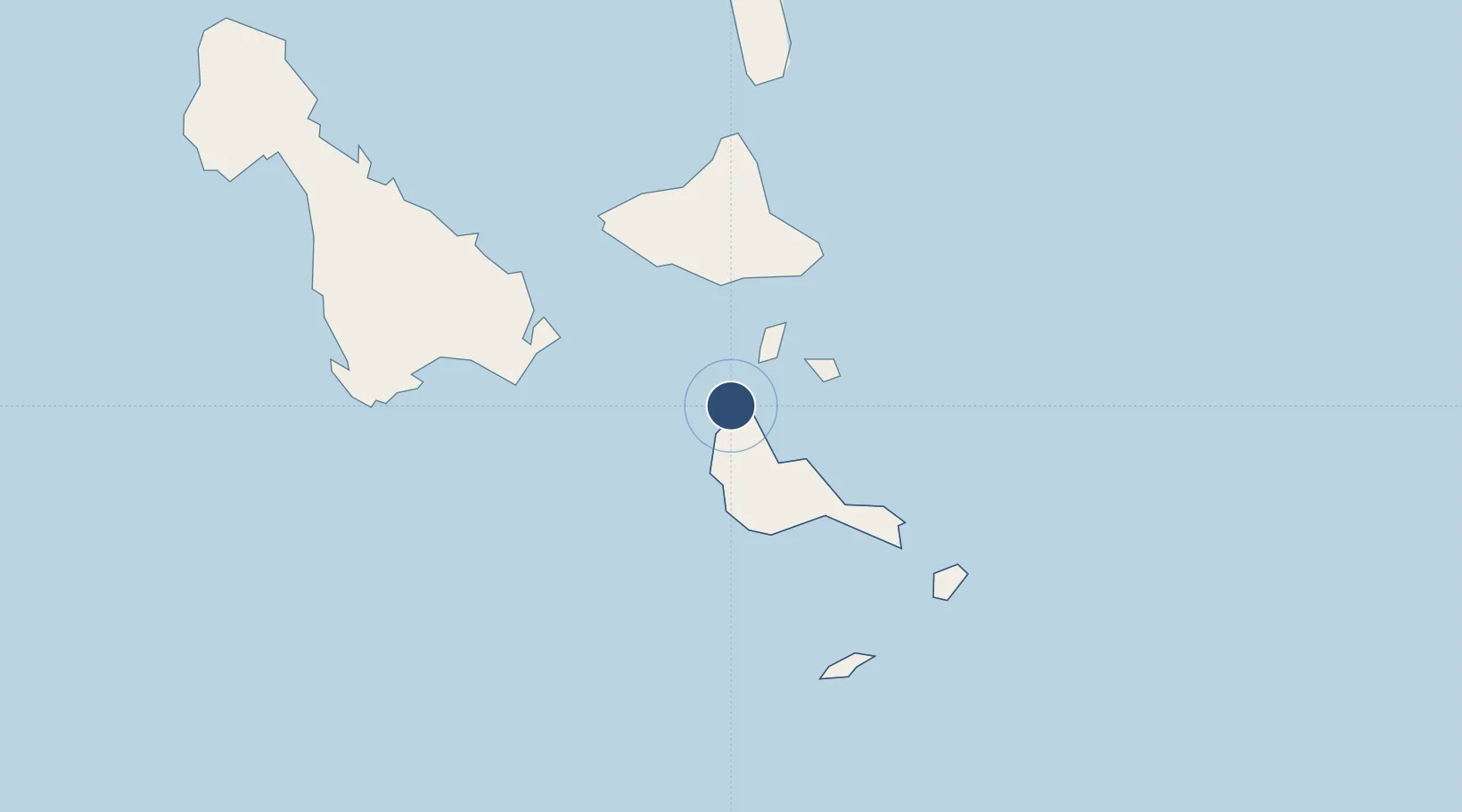
-16.5842°, 168.1590°
2,789 ft
Longest runway
1
Runways
7 ft
Elevation
Runway & Layout

Runways · 1
| Runway | Dimensions | Surface | True heading | Lit |
|---|---|---|---|---|
| 14/32 | 2,789 × 79ft | Grass | — | — |
Airport Specifications
IATA code
LNB
ICAO code
NVSM
Airport class
Small airport
Scheduled service
Yes
Runway surface
Grass
Served city
Lamen Bay
Location
Nearby Logistics Neighbours
Airports
- 1Tavie Airport19 km
- 2Valesdir Airport24 km
- 3Lamap Airport38 km
- 4Craig Cove Airport44 km
- 5Tongoa Airport54 km
Cities
- 1Havannah Harbour111 km
- 2Luganville158 km
- 3Lifou497 km
- 4Maré547 km
- 5Poro584 km
Ports
- 1Port Vila129 km
- 2Luganville159 km
- 3Baie Ugue577 km
- 4Baie De Kouaoua588 km
- 5Noumea659 km
Trade Zones
- 1Vanuatu Economic Development Zone160 km
- 2Lautoka Special Zone993 km
- 3Rotuma-Kadavu Tax-Free Region1103 km
- 4Kalabu Tax Free Zone1108 km
- 5Nausori-Ba Tax-Free Region1112 km
DatabookThe Record of Consolidated Knowledge
Vanuatu beyond logistics?