Seaport · Fiji
Lautoka HarborFJLTK
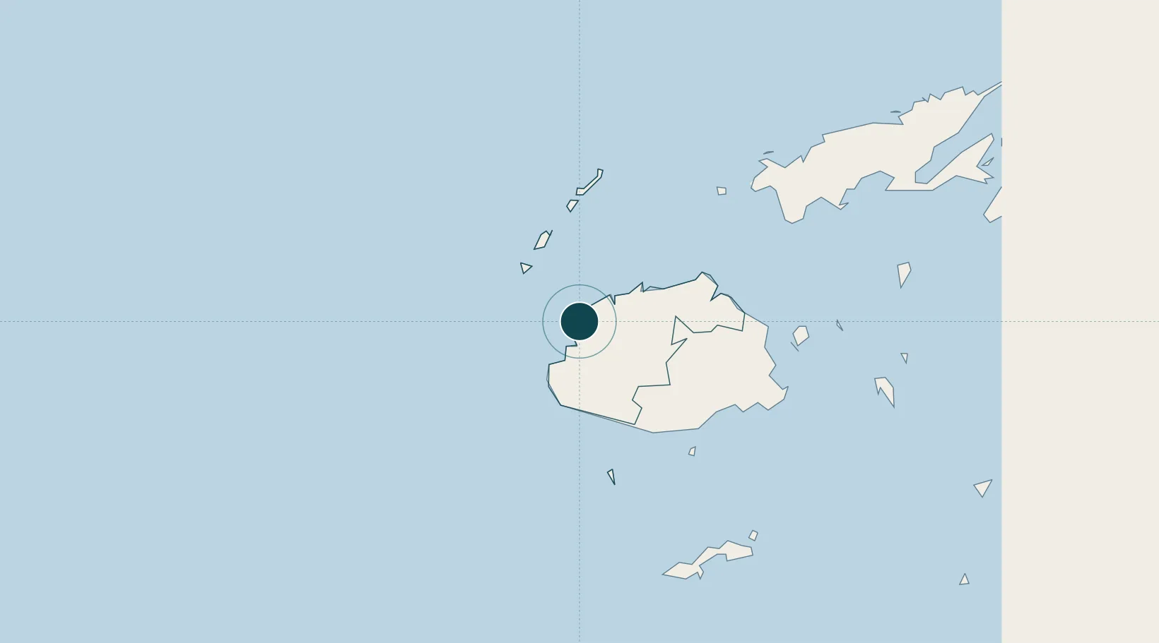
-17.6000°, 177.4500°
9.4 m
Channel depth
1
Container terminals
88.9
Port liner connectivity
Channel & Berth Profile
Pilotage, Tugs & Services
Pilotage compulsoryYES
Pilotage availableYES
Tug assistanceYES
Salvage tugsNO
Shore powerYES
Potable waterYES
Diesel bunkersYES
MedicalYES
Garbage disposalYES
Facilities & Capabilities
Container—
Ro-Ro—
Liquid bulk—
Dry bulk—
Oil terminal—
Break bulk—
Dry dockNO
RepairsNO
BunkeringYES
Rail linkYES
Dangerous cargo—
ISPS security—
Harbour Specifications
Harbour size
Very Small
Harbour type
Coastal (Breakwater)
Shelter
Good
Water body
South Pacific Ocean
Tidal range
2 m
Overhead limit
No
Pilotage
Yes
Liner Connectivity
88.9
PLSCI
Port Liner Shipping Connectivity Index for Lautoka Harbor, as published by UNCTAD for the latest available quarter. Higher values indicate stronger scheduled liner-shipping integration.
Shown relative to the highest per-port PLSCI in the dataset (1,657.9).
Location
Container Terminals · 1
PORT OF LAUTOKA (QUEENS WHARF)
POLT FIJI PORT CORPORATION LIMITED
Nearby Logistics Neighbours
Ports
- 1Suva Harbor118 km
- 2Savusavu Bay221 km
- 3Port Vila968 km
- 4Funafuti Atoll1026 km
- 5Luganville1120 km
Cities
- 1Vuda5 km
- 2Denarau20 km
- 3Momi39 km
- 4Vatia Wharf40 km
- 5Singatoka63 km
Airports
- 1Nadi International Airport18 km
- 2Malolo Lailai Island Airport33 km
- 3Mana Island Airport38 km
- 4Yasawa Island Airport94 km
- 5Nausori International Airport128 km
Trade Zones
- 1Lautoka Special Zone3 km
- 2Rotuma-Kadavu Tax-Free Region119 km
- 3Kalabu Tax Free Zone122 km
- 4Nausori-Ba Tax-Free Region123 km
- 5Vanua Levu Tax-Free Region198 km
DatabookThe Record of Consolidated Knowledge
Fiji beyond logistics?