Large airport · Venezuela

General Manuel Carlos Piar International AirportSVPR
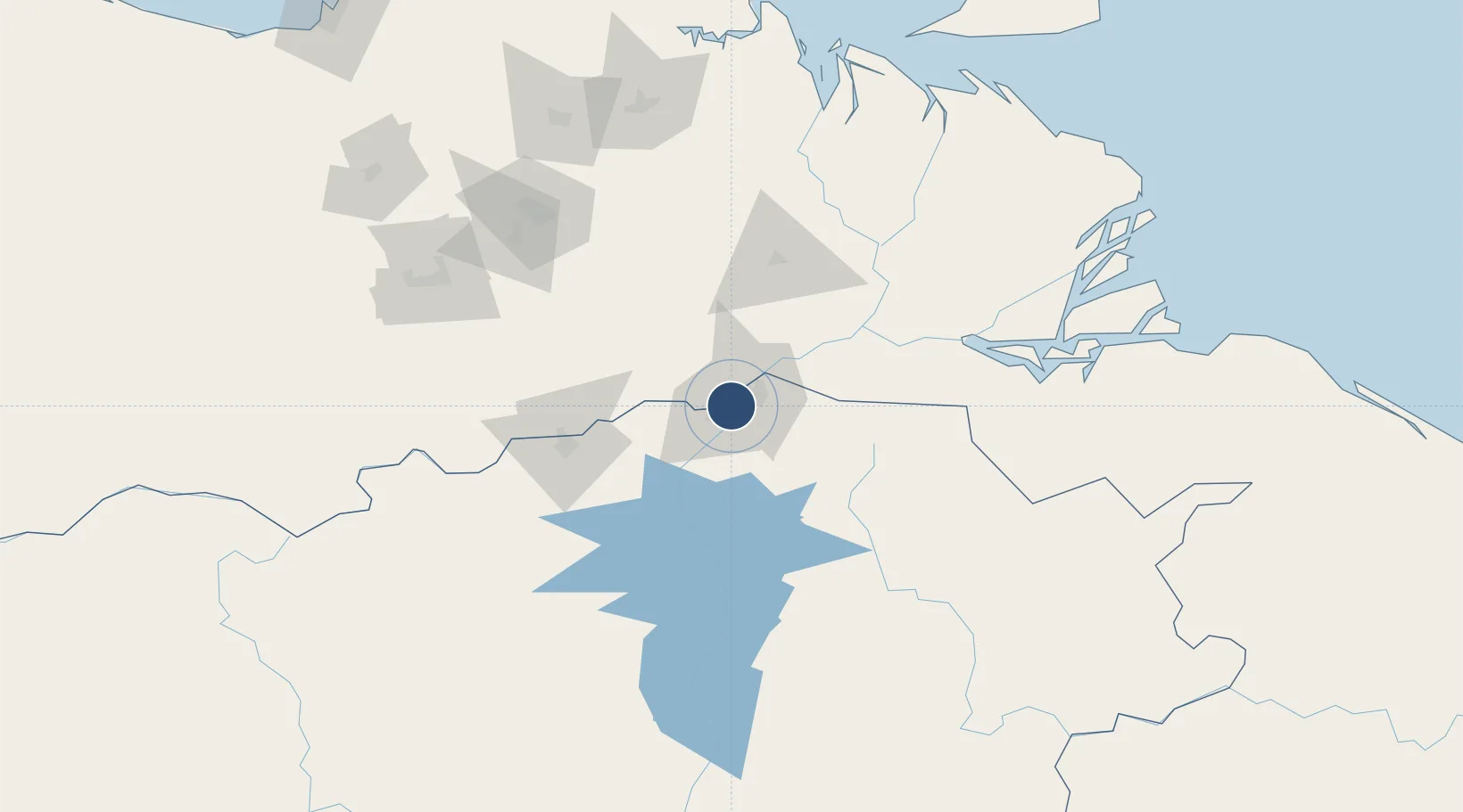
8.2885°, -62.7604°
6,726 ft
Longest runway
1
Runways
472 ft
Elevation

Runway & Layout

General Manuel Carlos Piar International Airport runway & taxiway layout
Runway & taxiway layout — OpenStreetMap (ODbL) / OurAirports

Radio Frequencies

TWR
118 MHz
GUAYANA TWR
GND
121.9 MHz
OurAirports

Navaids

GNA VORTAC Guayana 114.70 MHz
GNA NDB Guayana 317 kHz
OurAirports

Runways · 1

RunwayDimensions SurfaceTrue headingLit
07/25 6,726 × 148ft Asphalt 064°
OurAirports

Airport Specifications

IATA code
PZO
OurAirports
ICAO code
SVPR
OurAirports
Airport class
Large airport
OurAirports
Scheduled service
Yes
OurAirports
Runway surface
Asphalt
OurAirports
Served city
Guyana City
OurAirports

Location

Location of SVPR
Natural Earth 10m (public domain) · Bolívar · SVPR · 8.29, -62.76GoogleOSMYandex

Nearby Logistics Neighbours

Airports
  1. 1General Tomas de Heres Airport87 km
  2. 2Tucupita Airport115 km
  3. 3José Tadeo Monagas International Airport168 km
  4. 4San Tomé Airport169 km
  5. 5Tumeremo Airport178 km
Nearest neighbours — logibook spatial index (haversine) over the source coordinates
Cities
  1. 1Palúa12 km
  2. 2Scotland53 km
  3. 3Ciudad Bolívar89 km
  4. 4Punta de Mata177 km
  5. 5Caripito207 km
Nearest neighbours — logibook spatial index (haversine) over the source coordinates
Ports
  1. 1Puerto Ordaz8 km
  2. 2Palua12 km
  3. 3Ciudad Bolivar89 km
  4. 4Caripito209 km
  5. 5Point Fortin242 km
Nearest neighbours — logibook spatial index (haversine) over the source coordinates
Trade Zones
  1. 1Point Fortin Industrial Park241 km
  2. 2Debe Industrial Park259 km
  3. 3Moruga Agro-Processing and Light Industrial Park266 km
  4. 4Harmony Hall Industrial Park268 km
  5. 5Plaisance Industrial Park269 km
Nearest neighbours — logibook spatial index (haversine) over the source coordinates
DatabookThe Record of Consolidated Knowledge
Venezuela beyond logistics?
Browse databook

All Sources

AirportsOurAirports
Public domain
Portsthe NGA World Port Index
Public domain (US gov)
LocationsUN/LOCODE
UN/LOCODE — free
Trade Zonesthe World Bank SEZ database
CC BY 4.0
Trade ZonesOpen Zone Map
CC BY
InfrastructureOpenStreetMap
ODbL 1.0
← Venezuela airports