UN/LOCODE hub · Venezuela
VEJOT

Jose Terminal

10.1000°, -64.8500°
2
Transport functions

Transport Functions

Port
Fixed Transport
Jose Terminal is also a profiled seaport →
UN/LOCODE

Hub Profile

Region
B
GeoNames

Location

Location of VEJOT
Natural Earth 10m (public domain) · B · VEJOT · 10.10, -64.85GoogleOSMYandex

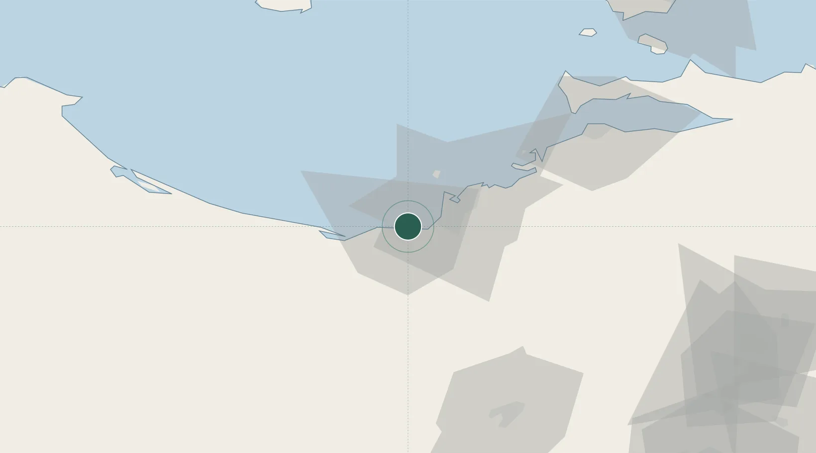
Nearby Logistics Neighbours

Cities
  1. 1Petrozuata6 km
  2. 2El Chaure31 km
  3. 3Guanta32 km
  4. 4Puerto Carenero86 km
  5. 5El Jose117 km
Nearest neighbours — logibook spatial index (haversine) over the source coordinates
Ports
  1. 1Puerto La Cruz29 km
  2. 2Guanta34 km
  3. 3Bahia De Pertigalete34 km
  4. 4Cumana (Puerto Sucre)84 km
  5. 5El Guamache121 km
Nearest neighbours — logibook spatial index (haversine) over the source coordinates
Airports
  1. 1General José Antonio Anzoategui International Airport17 km
  2. 2Anaco Airport85 km
  3. 3Antonio José de Sucre Airport88 km
  4. 4Andrés Miguel Salazar Marcano Airport122 km
  5. 5Del Caribe Santiago Mariño International Airport132 km
Nearest neighbours — logibook spatial index (haversine) over the source coordinates
Trade Zones
  1. 1Zona Franca Industrial, Comercial y de Servicios de Cumaná81 km
  2. 2Free Port of the Nueva Esparta State121 km
  3. 3Guarenas-Guatire Special Economic Zone195 km
  4. 4Point Fortin Industrial Park347 km
  5. 5Diamond Vale Industrial Park366 km
Nearest neighbours — logibook spatial index (haversine) over the source coordinates
DatabookThe Record of Consolidated Knowledge
Venezuela beyond logistics?
Browse databook

All Sources

LocationsUN/LOCODE
UN/LOCODE — free
Portsthe NGA World Port Index
Public domain (US gov)
AirportsOurAirports
Public domain
Trade Zonesthe World Bank SEZ database
CC BY 4.0
Trade ZonesOpen Zone Map
CC BY
← Venezuela locations