Medium airport · Venezuela

General Tomas de Heres AirportSVCB
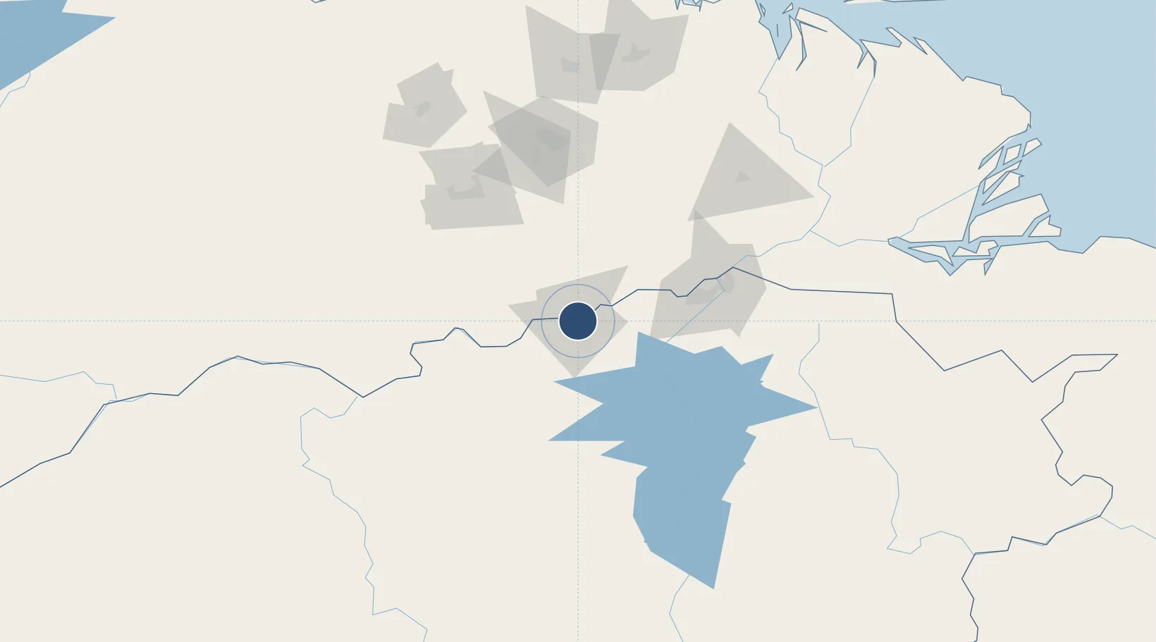
8.1222°, -63.5370°
5,527 ft
Longest runway
1
Runways
197 ft
Elevation

Runway & Layout

General Tomas de Heres Airport runway & taxiway layout
Runway & taxiway layout — OpenStreetMap (ODbL) / OurAirports

Radio Frequencies

ATIS
115.1 MHz
TWR
121.9 MHz
RDO
130.6 MHz
BOLIVAR RDO
OurAirports

Navaids

CBL VOR-DME Ciudad Bolivar 115.10 MHz
CBL NDB Ciudad Bolivar 278 kHz
OurAirports

Runways · 1

RunwayDimensions SurfaceTrue headingLit
07/25 5,527 × 148ft Asphalt 056°
OurAirports

Airport Specifications

IATA code
CBL
OurAirports
ICAO code
SVCB
OurAirports
Airport class
Medium airport
OurAirports
Scheduled service
No
OurAirports
Runway surface
Asphalt
OurAirports
Served city
Ciudad Bolivar
OurAirports

Location

Location of SVCB
Natural Earth 10m (public domain) · Bolívar · SVCB · 8.12, -63.54GoogleOSMYandex

Nearby Logistics Neighbours

Airports
  1. 1General Manuel Carlos Piar International Airport87 km
  2. 2San Tomé Airport114 km
  3. 3Anaco Airport178 km
  4. 4José Tadeo Monagas International Airport186 km
  5. 5Tucupita Airport192 km
Nearest neighbours — logibook spatial index (haversine) over the source coordinates
Cities
  1. 1Ciudad Bolívar2 km
  2. 2Palúa99 km
  3. 3Scotland128 km
  4. 4Punta de Mata174 km
  5. 5Caripito230 km
Nearest neighbours — logibook spatial index (haversine) over the source coordinates
Ports
  1. 1Ciudad Bolivar2 km
  2. 2Puerto Ordaz94 km
  3. 3Palua98 km
  4. 4Caripito232 km
  5. 5Bahia De Pertigalete261 km
Nearest neighbours — logibook spatial index (haversine) over the source coordinates
Trade Zones
  1. 1Zona Franca Industrial, Comercial y de Servicios de Cumaná267 km
  2. 2Point Fortin Industrial Park306 km
  3. 3Free Port of the Nueva Esparta State310 km
  4. 4Debe Industrial Park328 km
  5. 5Harmony Hall Industrial Park335 km
Nearest neighbours — logibook spatial index (haversine) over the source coordinates
DatabookThe Record of Consolidated Knowledge
Venezuela beyond logistics?
Browse databook

All Sources

AirportsOurAirports
Public domain
Portsthe NGA World Port Index
Public domain (US gov)
LocationsUN/LOCODE
UN/LOCODE — free
Trade Zonesthe World Bank SEZ database
CC BY 4.0
Trade ZonesOpen Zone Map
CC BY
InfrastructureOpenStreetMap
ODbL 1.0
← Venezuela airports