UN/LOCODE hub · Venezuela
VECBL
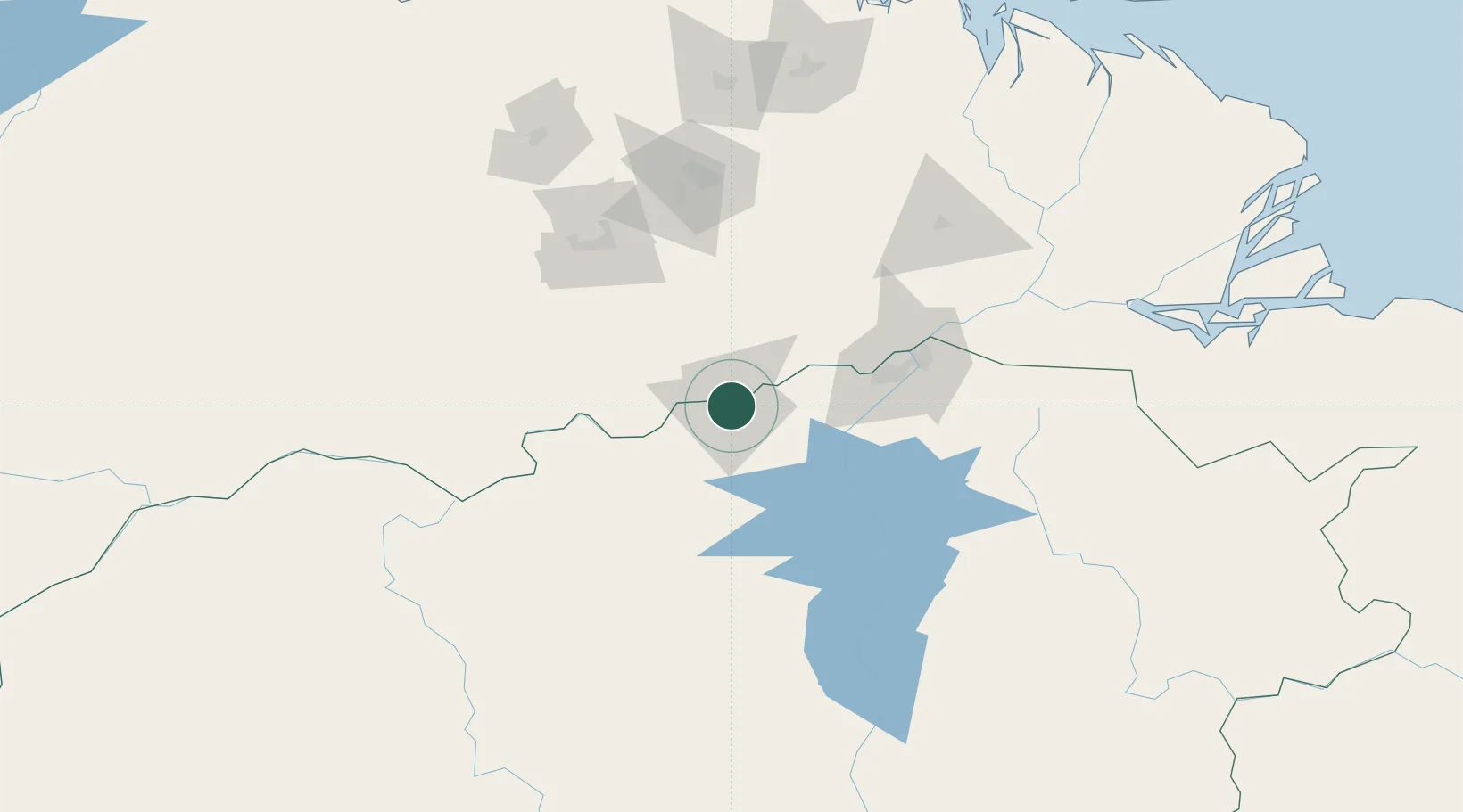
Ciudad Bolívar
8.1167°, -63.5500°
412,619
Population
2
Transport functions
Transport Functions
Port
Airport
Hub Profile
Place type
Regional capital
Region
Bolívar
Population
412,619
Time zone
America/Caracas
Elevation
73 m
Location
Nearby Logistics Neighbours
Cities
- 1Palúa101 km
- 2Scotland129 km
- 3Punta de Mata174 km
- 4Caripito231 km
- 5Jose Terminal263 km
Ports
- 1Puerto Ordaz95 km
- 2Palua99 km
- 3Caripito233 km
- 4Bahia De Pertigalete261 km
- 5Jose Terminal263 km
Airports
Trade Zones
DatabookThe Record of Consolidated Knowledge
Venezuela beyond logistics?