Seaport · Venezuela
Puerto OrdazVEPZO
8.3500°, -62.7167°
9.4 m
Channel depth
12.7
Port liner connectivity
Channel & Berth Profile
Pilotage, Tugs & Services
Pilotage compulsoryYES
Pilotage availableYES
Pilotage advisableYES
Local assistanceYES
Tug assistanceYES
Potable waterYES
Diesel bunkersYES
MedicalYES
Garbage disposalYES
Facilities & Capabilities
Container—
Ro-Ro—
Liquid bulk—
Dry bulkYES
Oil terminal—
Break bulkYES
Dry dock—
RepairsNO
BunkeringYES
Rail linkYES
Dangerous cargo—
ISPS securityYES
Harbour Specifications
Harbour size
Small
Harbour type
River (Natural)
Shelter
Fair
Water body
Caribbean Sea; North Atlantic Ocean
Tidal range
4 m
Overhead limit
Yes
Pilotage
Yes
Liner Connectivity
12.7
PLSCI
Port Liner Shipping Connectivity Index for Puerto Ordaz, as published by UNCTAD for the latest available quarter. Higher values indicate stronger scheduled liner-shipping integration.
Shown relative to the highest per-port PLSCI in the dataset (1,657.9).
Location
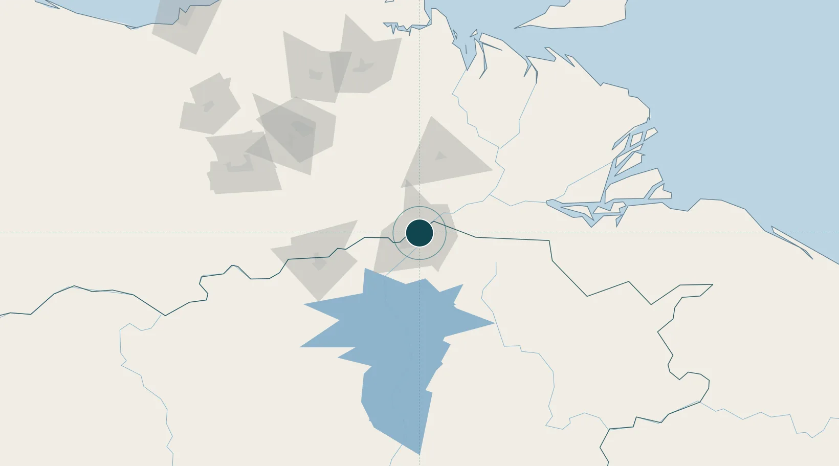
Nearby Logistics Neighbours
Ports
- 1Palua4 km
- 2Ciudad Bolivar95 km
- 3Caripito203 km
- 4Point Fortin234 km
- 5Brighton242 km
Cities
- 1Palúa6 km
- 2Scotland54 km
- 3Ciudad Bolívar95 km
- 4Punta de Mata173 km
- 5Caripito201 km
Airports
Trade Zones
DatabookThe Record of Consolidated Knowledge
Venezuela beyond logistics?