UN/LOCODE hub · Venezuela
VEUPT

Scotland

8.0000°, -62.3833°
1
Transport functions

Transport Functions

Multimodal
UN/LOCODE

Hub Profile

Region
F
GeoNames

Location

Location of VEUPT
Natural Earth 10m (public domain) · F · VEUPT · 8.00, -62.38GoogleOSMYandex

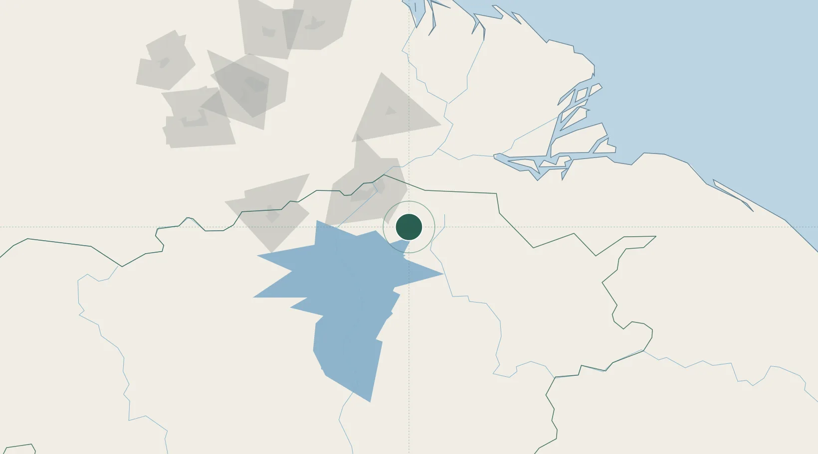
Nearby Logistics Neighbours

Cities
  1. 1Palúa50 km
  2. 2Ciudad Bolívar129 km
  3. 3Punta de Mata226 km
  4. 4Caripito248 km
  5. 5Siparia256 km
Nearest neighbours — logibook spatial index (haversine) over the source coordinates
Ports
  1. 1Palua53 km
  2. 2Puerto Ordaz54 km
  3. 3Ciudad Bolivar129 km
  4. 4Caripito250 km
  5. 5Point Fortin256 km
Nearest neighbours — logibook spatial index (haversine) over the source coordinates
Airports
  1. 1General Manuel Carlos Piar International Airport53 km
  2. 2Tucupita Airport125 km
  3. 3Tumeremo Airport126 km
  4. 4General Tomas de Heres Airport128 km
  5. 5El Dorado Airport165 km
Nearest neighbours — logibook spatial index (haversine) over the source coordinates
Trade Zones
  1. 1Point Fortin Industrial Park254 km
  2. 2Debe Industrial Park267 km
  3. 3Moruga Agro-Processing and Light Industrial Park272 km
  4. 4Harmony Hall Industrial Park277 km
  5. 5Plaisance Industrial Park279 km
Nearest neighbours — logibook spatial index (haversine) over the source coordinates
DatabookThe Record of Consolidated Knowledge
Venezuela beyond logistics?
Browse databook

All Sources

LocationsUN/LOCODE
UN/LOCODE — free
Portsthe NGA World Port Index
Public domain (US gov)
AirportsOurAirports
Public domain
Trade Zonesthe World Bank SEZ database
CC BY 4.0
Trade ZonesOpen Zone Map
CC BY
← Venezuela locations