Medium airport · Venezuela
Anaco AirportSVAN
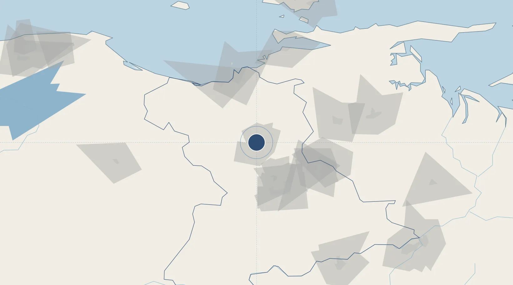
9.4302°, -64.4707°
4,134 ft
Longest runway
1
Runways
721 ft
Elevation
Runway & Layout

Runways · 1
| Runway | Dimensions | Surface | True heading | Lit |
|---|---|---|---|---|
| 09/27 | 4,134 × 131ft | Asphalt | 090° | — |
Airport Specifications
IATA code
AAO
ICAO code
SVAN
Airport class
Medium airport
Scheduled service
No
Runway surface
Asphalt
Served city
Anaco
Location
Nearby Logistics Neighbours
Airports
Cities
- 1Jose Terminal85 km
- 2Petrozuata90 km
- 3Guanta92 km
- 4El Chaure93 km
- 5Punta de Mata107 km
Ports
- 1Jose Terminal85 km
- 2Bahia De Pertigalete90 km
- 3Guanta92 km
- 4Puerto La Cruz93 km
- 5Cumana (Puerto Sucre)120 km
DatabookThe Record of Consolidated Knowledge
Venezuela beyond logistics?