Medium airport · Venezuela

José Tadeo Monagas International AirportSVMT
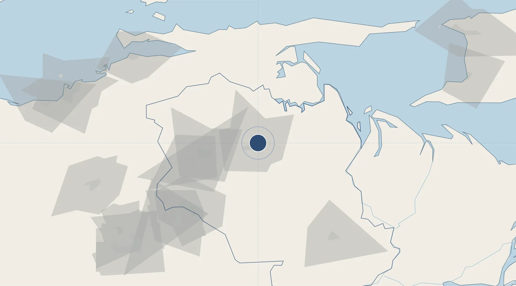
9.7490°, -63.1533°
6,890 ft
Longest runway
1
Runways
224 ft
Elevation

Runway & Layout

José Tadeo Monagas International Airport runway & taxiway layout
Runway & taxiway layout — OpenStreetMap (ODbL) / OurAirports

Radio Frequencies

TWR
118.5 MHz
GND
121.9 MHz
OurAirports

Navaids

MUN VOR-DME Maturin 115.30 MHz
MUN NDB Maturin 230 kHz
OurAirports

Runways · 1

RunwayDimensions SurfaceTrue headingLit
06/24 6,890 × 148ft Asphalt 049°
OurAirports

Airport Specifications

IATA code
MUN
OurAirports
ICAO code
SVMT
OurAirports
Airport class
Medium airport
OurAirports
Scheduled service
Yes
OurAirports
Runway surface
Asphalt
OurAirports
Served city
Maturín
OurAirports

Location

Location of SVMT
Natural Earth 10m (public domain) · Monagas · SVMT · 9.75, -63.15GoogleOSMYandex

Nearby Logistics Neighbours

Airports
  1. 1General Francisco Bermúdez Airport102 km
  2. 2Guiria Airport130 km
  3. 3Antonio José de Sucre Airport132 km
  4. 4Tucupita Airport137 km
  5. 5San Tomé Airport141 km
Nearest neighbours — logibook spatial index (haversine) over the source coordinates
Cities
  1. 1Punta de Mata42 km
  2. 2Caripito45 km
  3. 3Puerto Carenero138 km
  4. 4La Asuncion164 km
  5. 5Palúa165 km
Nearest neighbours — logibook spatial index (haversine) over the source coordinates
Ports
  1. 1Caripito47 km
  2. 2Carupano106 km
  3. 3Guiria130 km
  4. 4Cumana (Puerto Sucre)138 km
  5. 5Puerto De Hierro152 km
Nearest neighbours — logibook spatial index (haversine) over the source coordinates
Trade Zones
  1. 1Zona Franca Industrial, Comercial y de Servicios de Cumaná137 km
  2. 2Free Port of the Nueva Esparta State159 km
  3. 3Point Fortin Industrial Park168 km
  4. 4Oldendorff Carriers Transshipment Zone196 km
  5. 5Debe Industrial Park196 km
Nearest neighbours — logibook spatial index (haversine) over the source coordinates
DatabookThe Record of Consolidated Knowledge
Venezuela beyond logistics?
Browse databook

All Sources

AirportsOurAirports
Public domain
Portsthe NGA World Port Index
Public domain (US gov)
LocationsUN/LOCODE
UN/LOCODE — free
Trade Zonesthe World Bank SEZ database
CC BY 4.0
Trade ZonesOpen Zone Map
CC BY
InfrastructureOpenStreetMap
ODbL 1.0
← Venezuela airports